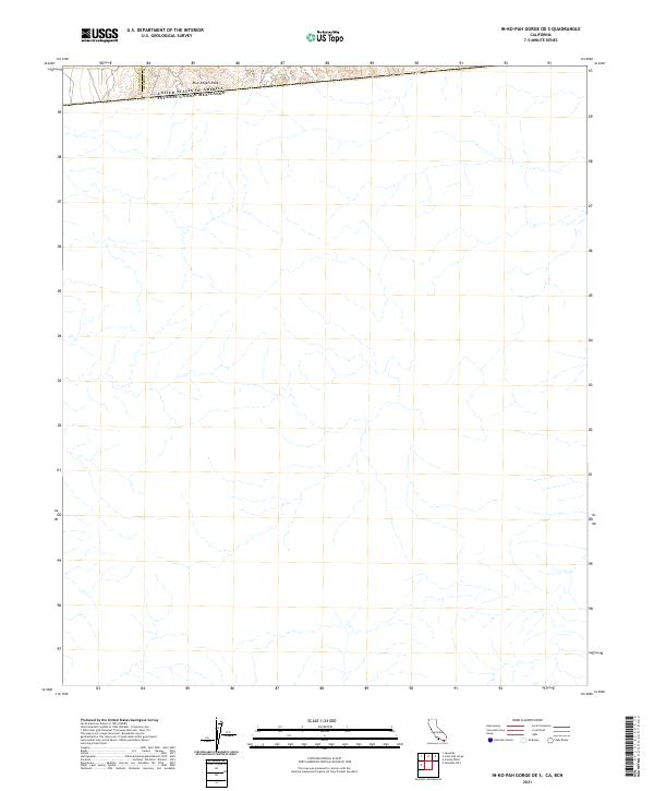
2021 Map of In-Ko-Pah Gorge OE S
USGS Topo · Published 2021About this map
The international boundary between the United States of America Estados Unidos Mexicanos dominates the northern edge of this map, illustrating the high-desert borderlands where the Southern California wilderness meets Mexico. Situated on the divide between the San Diego Co Imperial Co line, the terrain is defined by extreme relief and drainage patterns typical of the In-Ko-Pah range. The most prominent landmark is Blue Angels Peak, a high point that watches over a landscape shaped by seasonal watercourses and complex topography. This survey provides a precise look at the jurisdictional overlaps of the border region in the early twenty-first century, documenting the remote character of the desert landscape before it descends into the lower basins to the east.
Find a feature on this map
5 named features on this map. Tap any name to fly to it.
Don’t see what you’re looking for? This feature index may not catch every label — zoom into the map to look around manually.
Map Details
Editions of this 2021 In-Ko-Pah Gorge OE S Map
This is the sole edition of this map. No revisions or reprints were ever made.
Other maps of this area

1915 · El Centro
USGS Topo · 1:125,000

1931 · Carrizo
USGS Topo · 1:125,000

1939 · Jacumba
USGS Topo · 1:62,500

1940 · Coyote Wells
USGS Topo · 1:62,500

1942 · El Centro
USGS Topo · 1:250,000

1942 · Jacumba
USGS Topo · 1:62,500

1943 · Coyote Wells
USGS Topo · 1:62,500

1950 · San Diego
USGS Topo · 1:250,000

1954 · El Centro
USGS Topo · 1:250,000

1954 · San Diego
USGS Topo · 1:250,000