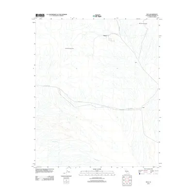
2012 Map of Inca
USGS Topo · Published 2012About this map
Midland sits at the base of the mountains in this Riverside County desert landscape, where industrial and transport history meet. The settlement is linked to the surrounding terrain by specialized routes like Midland Depot Rd and Midland Rd, reflecting its role as a point of transit between the highlands and the basin. To the north and west, the Big Maria Mountains and Little Maria Mountains dominate the topography, with their drainage flowing toward McCoy Wash in the south. Further east, the small sidings or stations at Cox and Inca mark the corridor through the open desert. The presence of Arlington Mine Rd and Arlington Rd suggests a landscape historically shaped by resource extraction and the logistical networks required to move materials out of the desert interior.
Find a feature on this map
10 named features on this map. Tap any name to fly to it.
Don’t see what you’re looking for? This feature index may not catch every label — zoom into the map to look around manually.
Map Details
Editions of this 2012 Inca Map
This is the sole edition of this map. No revisions or reprints were ever made.
Other maps of this area

1942 · Blythe
USGS Topo · 1:250,000

1945 · Big Maria Mtns
USGS Topo · 1:62,500

1945 · Midland
USGS Topo · 1:62,500

1951 · Big Maria Mts
USGS Topo · 1:62,500

1951 · McCoy Wash
USGS Topo · 1:24,000

1952 · Midland
USGS Topo · 1:62,500

1952 · Mc Coy Spring
USGS Topo · 1:62,500

1954 · Salton Sea
USGS Topo · 1:250,000

1955 · Salton Sea
USGS Topo · 1:250,000

1959 · Salton Sea
USGS Topo · 1:250,000