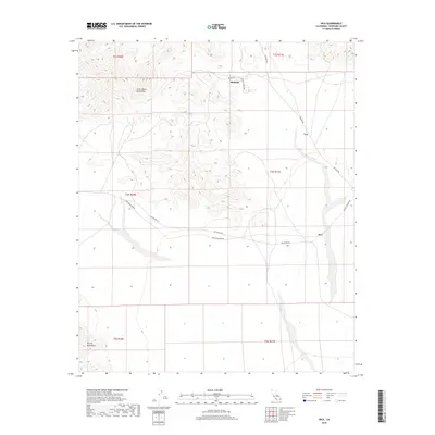
2018 Map of Inca
USGS Topo · Published 2018About this map
Midland stands at the northern edge of this desert landscape, where the southern foothills of the Little Maria Mountains meet the arid valley floor. This 2018 survey documents a region defined by its industrial and transport history, evidenced by the infrastructure of Midland Depot Rd and Arlington Mine Rd. The layout of the land reflects a reliance on these primary corridors, connecting small outposts like Inca and Cox across the vast open terrain between the mountains. To the southwest, the McCoy Mountains rise from the desert floor, framing a region shaped by mining access and the remnants of rural infrastructure. The mapping of township lines like t4s r21e and t3s r20e shows the formal division of this Riverside County landscape, where named settlements often emerged as crucial nodes along the road network serving the surrounding mineral-rich ranges.
Find a feature on this map
16 named features on this map. Tap any name to fly to it.
Don’t see what you’re looking for? This feature index may not catch every label — zoom into the map to look around manually.
Map Details
Editions of this 2018 Inca Map
This is the sole edition of this map. No revisions or reprints were ever made.
Other maps of this area
1942 · Blythe
USGS Topo · 1:250,000
1945 · Big Maria Mtns
USGS Topo · 1:62,500
1945 · Midland
USGS Topo · 1:62,500
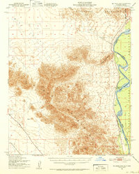
1951 · Big Maria Mts
USGS Topo · 1:62,500
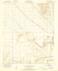
1951 · McCoy Wash
USGS Topo · 1:24,000
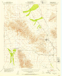
1952 · Midland
USGS Topo · 1:62,500
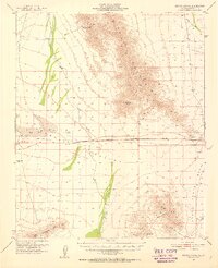
1952 · Mc Coy Spring
USGS Topo · 1:62,500
1954 · Salton Sea
USGS Topo · 1:250,000

1955 · Salton Sea
USGS Topo · 1:250,000
1959 · Salton Sea
USGS Topo · 1:250,000