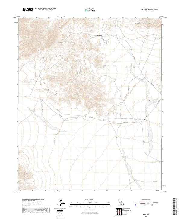
2021 Map of Inca
USGS Topo · Published 2021About this map
Arid desert basins and isolated ranges define this corner of Riverside County, where the industrial and mining heritage of the Colorado Desert is etched into the landscape. The settlement of Midland serves as a focal point in the north, historically linked to the gypsum mining operations that once thrived in the area. Transportation routes such as Midland Rd and Midland Depot Rd highlight the region's connection to rail and resource extraction.
Find a feature on this map
15 named features on this map. Tap any name to fly to it.
Don’t see what you’re looking for? This feature index may not catch every label — zoom into the map to look around manually.
Map Details
Editions of this 2021 Inca Map
This is the sole edition of this map. No revisions or reprints were ever made.
Other maps of this area

1942 · Blythe
USGS Topo · 1:250,000

1945 · Big Maria Mtns
USGS Topo · 1:62,500

1945 · Midland
USGS Topo · 1:62,500

1951 · Big Maria Mts
USGS Topo · 1:62,500

1951 · McCoy Wash
USGS Topo · 1:24,000

1952 · Midland
USGS Topo · 1:62,500

1952 · Mc Coy Spring
USGS Topo · 1:62,500

1954 · Salton Sea
USGS Topo · 1:250,000

1955 · Salton Sea
USGS Topo · 1:250,000

1959 · Salton Sea
USGS Topo · 1:250,000