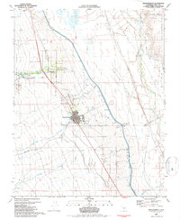
1982 Map of Independence
USGS Topo · Published 1987About this map
Independence serves as the focal point of this Eastern Sierra landscape, situated at the base of the mountains where several canyons open into the Owens Valley. The town’s grid is clearly defined, bordered by infrastructure that speaks to the region's complex water history, most notably the Los Angeles Aqueduct and the Owens River. To the north, the Fort Independence Indian Reservation and the historic Mt Whitney Fish Hatchery mark the edge of the valley floor before the terrain climbs toward the Inyo National Forest.
Find a feature on this map
36 named features on this map. Tap any name to fly to it.
Don’t see what you’re looking for? This feature index may not catch every label — zoom into the map to look around manually.
Map Details
Editions of this 1982 Independence Map
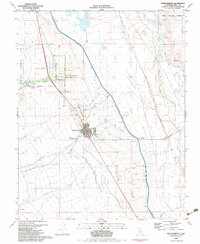
2 editions found
Other maps of this area

1907 · Mt. Whitney
USGS Topo · 1:125,000

1919 · Mt. Whitney
USGS Topo · 1:125,000

1937 · Mt. Whitney
USGS Topo · 1:125,000

1948 · Fresno
USGS Topo · 1:250,000

1951 · Independence
USGS Topo · 1:62,500

1953 · Mt. Pinchot
USGS Topo · 1:62,500

1955 · Fresno
USGS Topo · 1:250,000

1956 · Fresno
USGS Topo · 1:250,000

1956 · Mount Whitney
USGS Topo · 1:62,500

1958 · Fresno
USGS Topo · 1:250,000