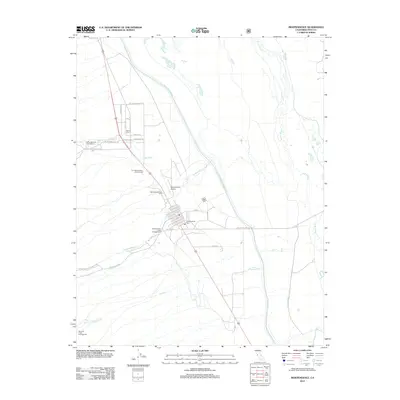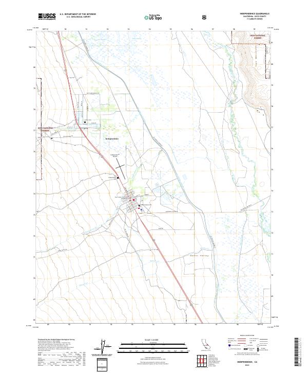
1992 Map of Independence
USGS Topo · Published 1994About this map
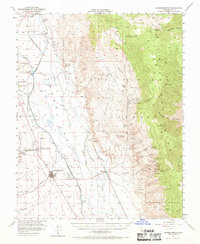
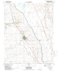
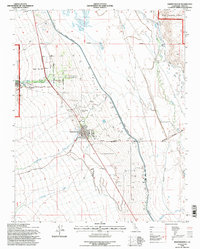
Independence serves as the focal point of this Inyo County landscape, situated at the base of the Inyo National Forest. The map illustrates a complex relationship between the natural hydrology of the Eastern Sierra and human engineering, dominated by the linear path of the Los Angeles Aqueduct and the presence of the Tulare Swamp. For those researching local history, several distinct burial grounds are noted, including the Old Independence Cem and the Indian Cem within the Fort Independence Indian Reservation. The transport and utility infrastructure is well-defined, showing the route of the Southern Pacific rail line and the specialized facilities at the Mt Whitney Fish Hatchery. Terrain transitions from the riparian corridors of Oak Creek and Symmes Creek toward the Owens River, documenting the local geography prior to mid-1990s developments.
Find a feature on this map
28 named features on this map. Tap any name to fly to it.
Don’t see what you’re looking for? This feature index may not catch every label — zoom into the map to look around manually.
Map Details
Editions of this 1992 Independence Map
This is the sole edition of this map. No revisions or reprints were ever made.
Historical Maps of Independence Through Time
8 maps found