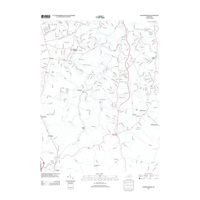
2013 Map of Independence
USGS Topo · Published 2013About this map
Nicholson and the surrounding Kenton County landscape appear as a complex network of residential expansion and rural tradition in this 2013 study. The area is defined by its numerous small burial grounds and churches, such as Saint Cecilias Cem and the Cruises Creek Baptist Church Cem, which serve as vital landmarks for local family historians. These quiet corners contrast with the aviation activity at Caintuckee Airport and the sprawling residential developments of Ridgeview Heights.
Find a feature on this map
273 named features on this map. Tap any name to fly to it.
Don’t see what you’re looking for? This feature index may not catch every label — zoom into the map to look around manually.
Map Details
Editions of this 2013 Independence Map
This is the sole edition of this map. No revisions or reprints were ever made.
Other maps of this area

1898 · East Cincinnati
USGS Topo · 1:62,500

1914 · East Cincinnati
USGS Topo · 1:62,500

1914 · West Cincinnati
USGS Topo · 1:62,500

1929 · Alexandria
USGS Topo · 1:48,000

1936 · Alexandria
USGS Topo · 1:62,500

1950 · Union
USGS Topo · 1:24,000

1950 · Independence
USGS Topo · 1:24,000

1950 · Verona
USGS Topo · 1:24,000

1950 · Walton
USGS Topo · 1:24,000

1950 · Covington
USGS Topo · 1:24,000