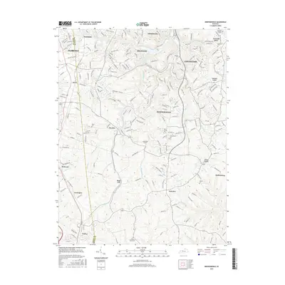
2016 Map of Independence
USGS Topo · Published 2016About this map
Independence and its surrounding northern Kentucky communities are defined by a network of winding creeks and ridge-top developments. This 2016 survey highlights the intricate local geography of Kenton County, where Banklick Creek and its many tributaries, including Brushy Fork and Fowler Cr, carve through the landscape. For genealogists, the map provides precise locations for numerous community burial grounds, such as Independence Cem, Saint Cecilias Cem, and the Cruises Creek Baptist Church Cem. The transition from the suburban clusters of Covington and Florence in the north to the more open settlements of Nicholson and Staffordsburg in the south is clearly visible. Notable local landmarks like the Caintuckee Airport and the distinctively named White Tower further characterize this region's modern layout.
Find a feature on this map
197 named features on this map. Tap any name to fly to it.
Don’t see what you’re looking for? This feature index may not catch every label — zoom into the map to look around manually.
Map Details
Editions of this 2016 Independence Map
This is the sole edition of this map. No revisions or reprints were ever made.
Other maps of this area

1898 · East Cincinnati
USGS Topo · 1:62,500

1914 · East Cincinnati
USGS Topo · 1:62,500

1914 · West Cincinnati
USGS Topo · 1:62,500

1929 · Alexandria
USGS Topo · 1:48,000

1936 · Alexandria
USGS Topo · 1:62,500

1950 · Union
USGS Topo · 1:24,000

1950 · Independence
USGS Topo · 1:24,000

1950 · Verona
USGS Topo · 1:24,000

1950 · Walton
USGS Topo · 1:24,000

1950 · Covington
USGS Topo · 1:24,000