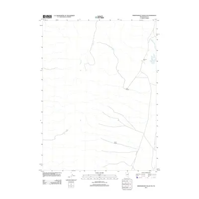
2012 Map of Independence Valley NE
USGS Topo · Published 2012About this map
The historic California Trail traces a path through this high desert region of Elko County, marking a corridor once vital to westward migration. This landscape is defined by its water sources and ranching heritage, centered around the Big Springs Ranch and the nearby Big Springs. The drainage patterns of Sixmile Cr and Hardy Cr cut through the terrain, illustrating the sparse but critical hydrology of the Great Basin. Topographic features such as Spud Canyon and Long Canyon dominate the relief, with Long Canyon Spring providing a specific point of interest for those studying the environmental history of the area. The map's detail shows how modern routes and traditional trails converge in this part of Independence Valley.
Find a feature on this map
8 named features on this map. Tap any name to fly to it.
Don’t see what you’re looking for? This feature index may not catch every label — zoom into the map to look around manually.
Map Details
Editions of this 2012 Independence Valley NE Map
This is the sole edition of this map. No revisions or reprints were ever made.
Other maps of this area

1955 · Wells
USGS Topo · 1:250,000

1955 · Elko
USGS Topo · 1:250,000

1958 · Wells
USGS Topo · 1:250,000

1958 · Elko
USGS Topo · 1:250,000

1961 · Wells
USGS Topo · 1:250,000

1962 · Elko
USGS Topo · 1:250,000

1965 · Elko
USGS Topo · 1:250,000
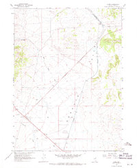
1967 · Cobre
USGS Topo · 1:24,000
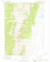
1968 · Independence Valley NE
USGS Topo · 1:24,000
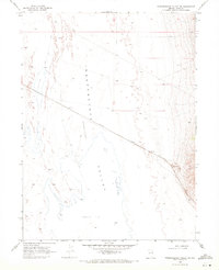
1968 · Independence Valley SW
USGS Topo · 1:24,000