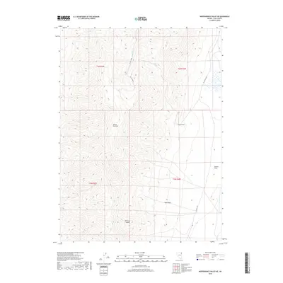
2018 Map of Independence Valley NE
USGS Topo · Published 2018About this map
The Pequop Mountains dominate this high-desert landscape in northeastern Nevada, where dramatic topographic relief descends into the broad Goshute Valley. The presence of the historic California Trl cutting through the southeastern corner of the quadrangle highlights the enduring importance of this corridor for transcontinental travel. Water remains the primary shaper of human activity here, evidenced by the siting of Big Springs Ranch near the dependable flows of Big Springs. Local drainage is defined by ephemeral systems like Sixmile Cr and Hardy Cr, while numerous ravines such as Spud Canyon and Mahogany Canyon carve into the mountain slopes. The map also traces the modern route of Six Mile Road as it winds through the northern peaks, connecting the isolated ranching operations to the wider region.
Find a feature on this map
16 named features on this map. Tap any name to fly to it.
Don’t see what you’re looking for? This feature index may not catch every label — zoom into the map to look around manually.
Map Details
Editions of this 2018 Independence Valley NE Map
This is the sole edition of this map. No revisions or reprints were ever made.
Other maps of this area

1955 · Wells
USGS Topo · 1:250,000

1955 · Elko
USGS Topo · 1:250,000

1958 · Wells
USGS Topo · 1:250,000

1958 · Elko
USGS Topo · 1:250,000

1961 · Wells
USGS Topo · 1:250,000

1962 · Elko
USGS Topo · 1:250,000

1965 · Elko
USGS Topo · 1:250,000
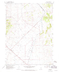
1967 · Cobre
USGS Topo · 1:24,000
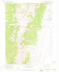
1968 · Independence Valley NE
USGS Topo · 1:24,000
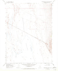
1968 · Independence Valley SW
USGS Topo · 1:24,000