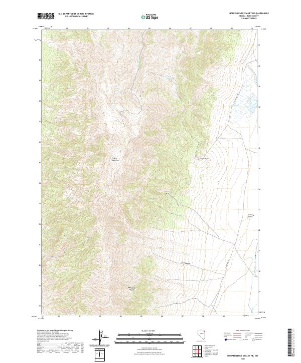
2021 Map of Independence Valley NE
USGS Topo · Published 2021About this map
The high desert terrain of the Pequop Mountains dominates this Elko County landscape, where the transition between elevated ridges and the Goshute Valley floor is marked by significant topographical relief. This area serves as a notable corridor for western migration, evidenced by the presence of the California Trl which cuts across the southeastern corner of the map. Water sources are critical features in this arid environment, with Big Springs and Big Springs Ranch providing a rare focal point for activity near the base of the mountains. Several drainages, including Sixmile Cr and Hardy Cr, define the local watershed alongside deep incisions like Mahogany Canyon and Spud Canyon. The map reveals the intricate network of canyons and springs, such as Long Canyon Spring, that have historically sustained ranching and travel in this remote part of Nevada.
Find a feature on this map
15 named features on this map. Tap any name to fly to it.
Don’t see what you’re looking for? This feature index may not catch every label — zoom into the map to look around manually.
Map Details
Editions of this 2021 Independence Valley NE Map
This is the sole edition of this map. No revisions or reprints were ever made.
Other maps of this area

1955 · Wells
USGS Topo · 1:250,000

1955 · Elko
USGS Topo · 1:250,000

1958 · Wells
USGS Topo · 1:250,000

1958 · Elko
USGS Topo · 1:250,000

1961 · Wells
USGS Topo · 1:250,000

1962 · Elko
USGS Topo · 1:250,000

1965 · Elko
USGS Topo · 1:250,000

1967 · Cobre
USGS Topo · 1:24,000

1968 · Independence Valley NE
USGS Topo · 1:24,000

1968 · Independence Valley SW
USGS Topo · 1:24,000