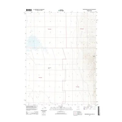
2014 Map of Independence Valley NW
USGS Topo · Published 2014About this map
Ralphs Warm Springs provides a distinctive hydrologic focal point in this high-desert basin, situated within the broad expanse of Independence Valley. To the east, the terrain rises sharply into the Pequop Mountains, creating a stark contrast between the flat valley floor and the high-elevation ridges. This 2014 survey documents the remote character of eastern Elko County, where the landscape is primarily defined by natural water sources and the large-scale grids of the Public Land Survey System, including t36n r64e and t35n r65e. The map captures the intersection of desert basin geography and the rugged mountain ranges that characterize the Great Basin, reflecting a landscape used for open-range ranching and mineral exploration.
Find a feature on this map
7 named features on this map. Tap any name to fly to it.
Don’t see what you’re looking for? This feature index may not catch every label — zoom into the map to look around manually.
Map Details
Editions of this 2014 Independence Valley NW Map
This is the sole edition of this map. No revisions or reprints were ever made.
Other maps of this area

1955 · Wells
USGS Topo · 1:250,000

1955 · Elko
USGS Topo · 1:250,000

1958 · Wells
USGS Topo · 1:250,000

1958 · Elko
USGS Topo · 1:250,000

1961 · Wells
USGS Topo · 1:250,000

1962 · Elko
USGS Topo · 1:250,000

1965 · Elko
USGS Topo · 1:250,000
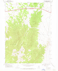
1968 · Moor Summit
USGS Topo · 1:24,000
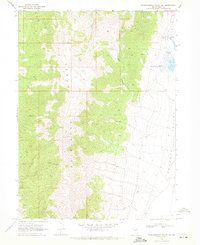
1968 · Independence Valley NE
USGS Topo · 1:24,000
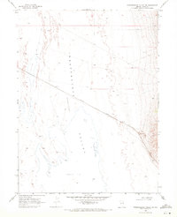
1968 · Independence Valley SW
USGS Topo · 1:24,000