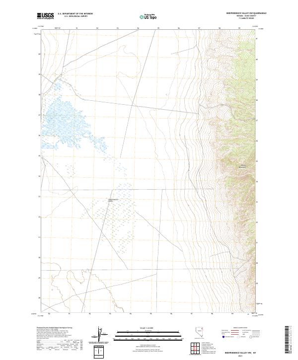
2021 Map of Independence Valley NW
USGS Topo · Published 2021About this map
Independence Valley dominates this high-desert landscape in Elko County, where the valley floor transitions into the rising slopes of the Pequop Mountains to the east. The map documents a classic Great Basin environment, characterized by expansive internal drainage and geothermal activity. The most distinctive water feature is Ralphs Warm Springs, located near the base of the mountains. This area is defined by the Public Land Survey System grid of townships and ranges, including t36n r64e, which provides a clear view of the topographical relationship between the flat valley basin and the steep mountain terrain. These surveys are essential for understanding the hydrology and land boundaries of northeastern Nevada's basin-and-range province.
Find a feature on this map
7 named features on this map. Tap any name to fly to it.
Don’t see what you’re looking for? This feature index may not catch every label — zoom into the map to look around manually.
Map Details
Editions of this 2021 Independence Valley NW Map
This is the sole edition of this map. No revisions or reprints were ever made.
Other maps of this area

1955 · Wells
USGS Topo · 1:250,000

1955 · Elko
USGS Topo · 1:250,000

1958 · Wells
USGS Topo · 1:250,000

1958 · Elko
USGS Topo · 1:250,000

1961 · Wells
USGS Topo · 1:250,000

1962 · Elko
USGS Topo · 1:250,000

1965 · Elko
USGS Topo · 1:250,000

1968 · Moor Summit
USGS Topo · 1:24,000

1968 · Independence Valley NE
USGS Topo · 1:24,000

1968 · Independence Valley SW
USGS Topo · 1:24,000