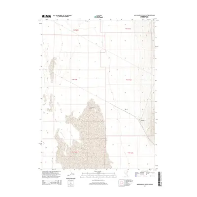
2014 Map of Independence Valley SW
USGS Topo · Published 2014About this map
Independence Valley stretches across this Great Basin landscape, dominated by a vast alluvial floor that meets the rising mountain slopes to the east. This 2014 survey captures a sparsely populated region of Elko County where the quiet footprints of Spruce and Rockland are situated along the eastern margins. The map shows a clear transition from the low-lying valley floor to the steeply contouring ridges, defined by the Public Land Survey System boundaries of t34n r65e and t35n r65e. The spatial arrangement of these small named locations suggests a legacy of high-desert ranching or mining activity, positioned strategically where the valley floor begins its ascent into the more varied terrain of the northeastern interior.
Find a feature on this map
9 named features on this map. Tap any name to fly to it.
Don’t see what you’re looking for? This feature index may not catch every label — zoom into the map to look around manually.
Map Details
Editions of this 2014 Independence Valley SW Map
This is the sole edition of this map. No revisions or reprints were ever made.
Other maps of this area

1953 · Spruce Mountain
USGS Topo · 1:62,500

1953 · Spruce Mountain 4
USGS Topo · 1:62,500

1955 · Elko
USGS Topo · 1:250,000

1958 · Elko
USGS Topo · 1:250,000

1962 · Elko
USGS Topo · 1:250,000

1965 · Elko
USGS Topo · 1:250,000

1968 · Independence Valley NE
USGS Topo · 1:24,000

1968 · Independence Valley SW
USGS Topo · 1:24,000

1968 · Ventosa
USGS Topo · 1:24,000
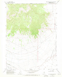
1968 · Snow Water Lake NE
USGS Topo · 1:24,000