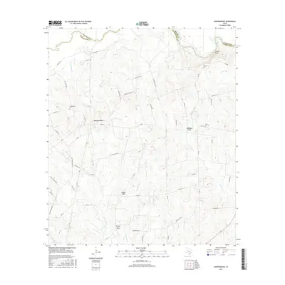
2016 Map of Independence
USGS Topo · Published 2016About this map
Independence sits at the heart of this East Texas landscape, where the rolling terrain of northern Washington County meets the Brazos River corridor. The map documents a rural network of family-named roads and historical landmarks, such as Independence Cem and Summers Cem, which offer significant value for genealogical research in this long-settled region. To the northeast, the Hidalgo Bluffs overlook the river valley, while the small community of William Penn anchors the eastern portion of the sheet.
Find a feature on this map
59 named features on this map. Tap any name to fly to it.
Don’t see what you’re looking for? This feature index may not catch every label — zoom into the map to look around manually.
Map Details
Editions of this 2016 Independence Map
This is the sole edition of this map. No revisions or reprints were ever made.
Other maps of this area
1913 · Millican
USGS Topo · 1:31,680
1914 · Gay Hill
USGS Topo · 1:62,500
1914 · Navasota
USGS Topo · 1:62,500
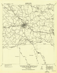
1930 · Brenham
USGS Topo · 1:62,500

1954 · Austin
USGS Topo · 1:250,000
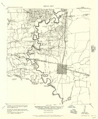
1956 · Hempstead
USGS Topo · 1:62,500
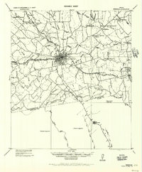
1956 · Brenham
USGS Topo · 1:62,500
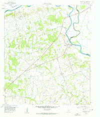
1958 · Washington
USGS Topo · 1:24,000
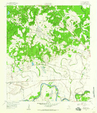
1959 · Millican
USGS Topo · 1:24,000
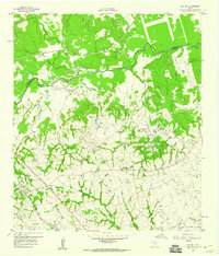
1959 · Gay Hill
USGS Topo · 1:24,000