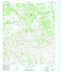
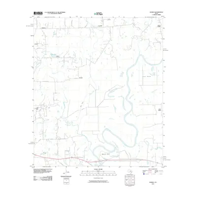
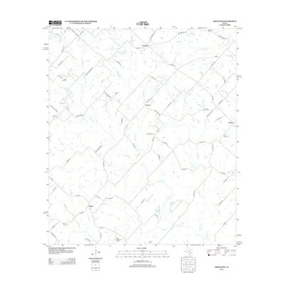
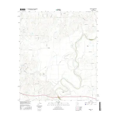
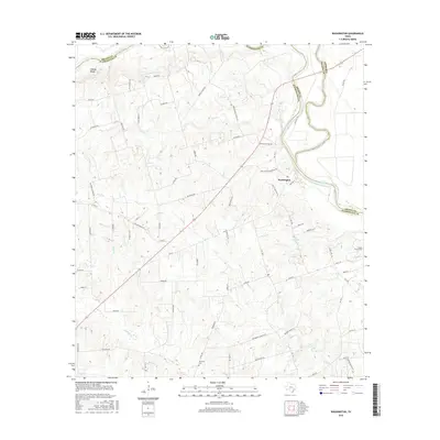
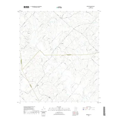
1959 Map of Independence
USGS Topo · Published 1975About this map
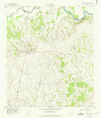
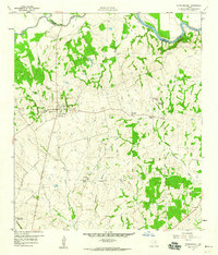
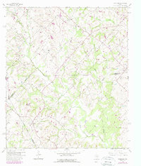
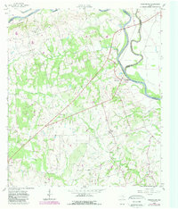
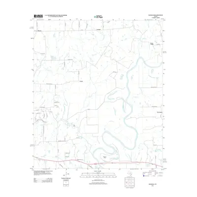
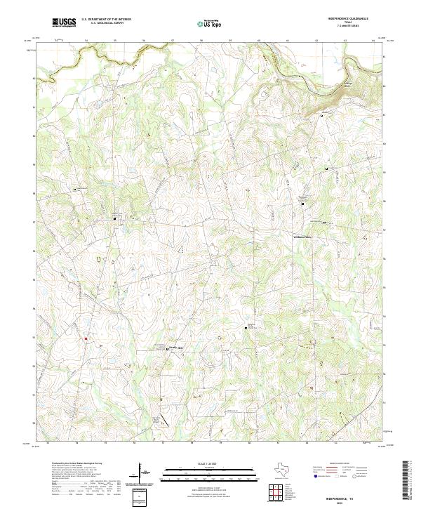
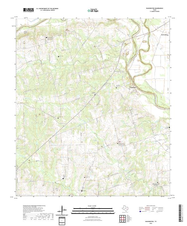
Independence serves as the focal point of this Central Texas landscape, reflecting a deep historical connection to early statehood through landmarks like the Gen Sam Houston Home and the Gen J B Robertson Home Historical Marker. The area is geographically defined by the Brazos River and Yegua Creek confluence, where the Hidalgo Bluffs overlook the river bottomlands. Small rural centers such as William Penn and Sandy Hill appear alongside institutional landmarks including Bethlehem Church and Palestine School. The map captures a transition in land use, showing a Gravel Pit near town and several family-named burial grounds like Summers Cemetery. For historians, the inclusion of Baylor University State Park and the John Laura Seward Home provides specific locations for early educational and political figures in the region.
Find a feature on this map
34 named features on this map. Tap any name to fly to it.
Don’t see what you’re looking for? This feature index may not catch every label — zoom into the map to look around manually.
Map Details
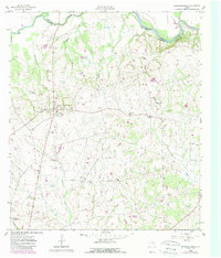
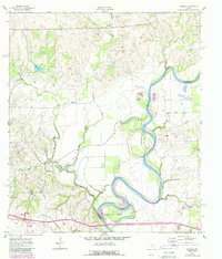
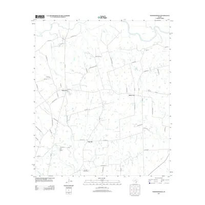
Editions of this 1959 Independence Map
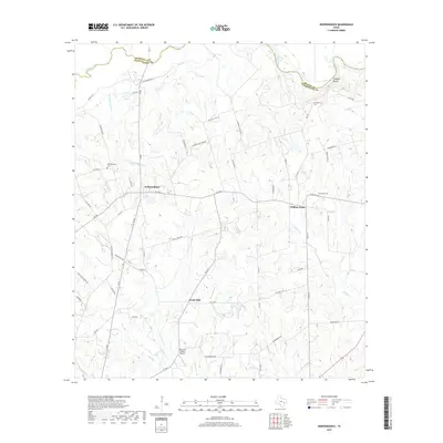
Historical Maps of William Penn Through Time
36 maps found
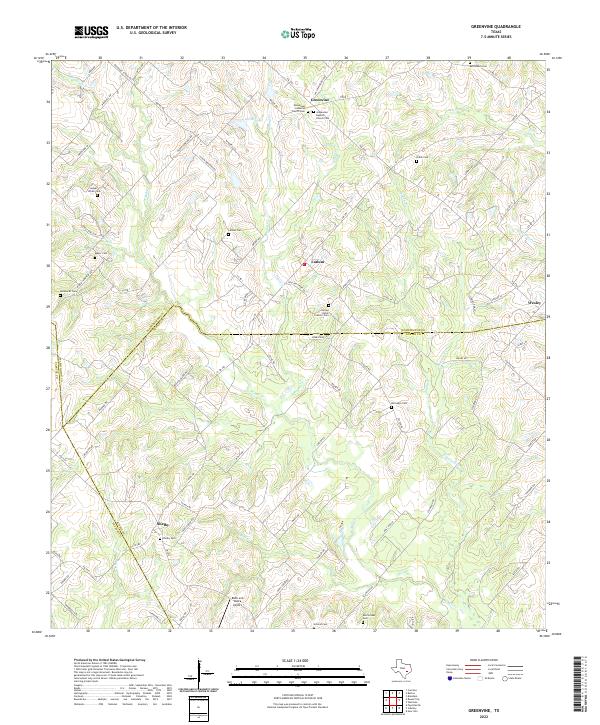
1958 Greenvine
Washington County, TX
1958 Washington
Washington County, TX
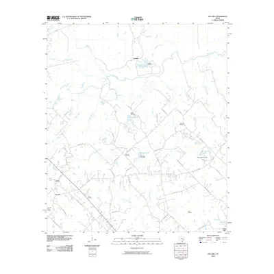
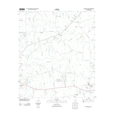
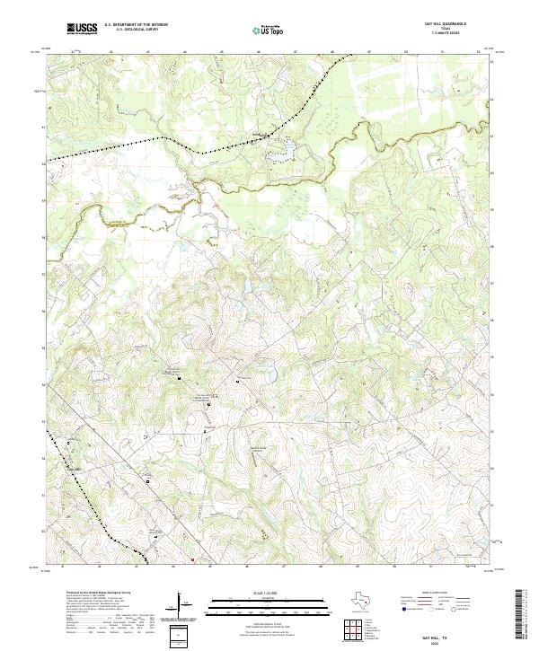
1959 Gay Hill
Washington County, TX
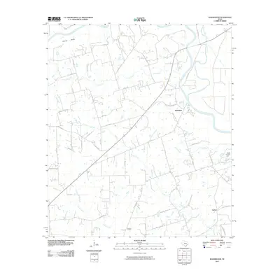
1959 Independence
Washington County, TX
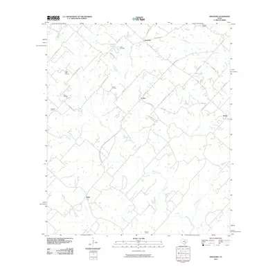
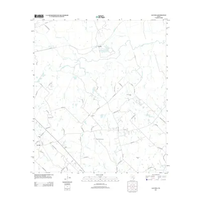
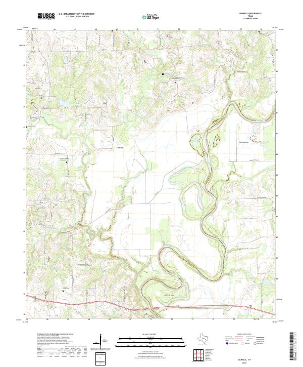
1961 Daniels
Washington County, TX

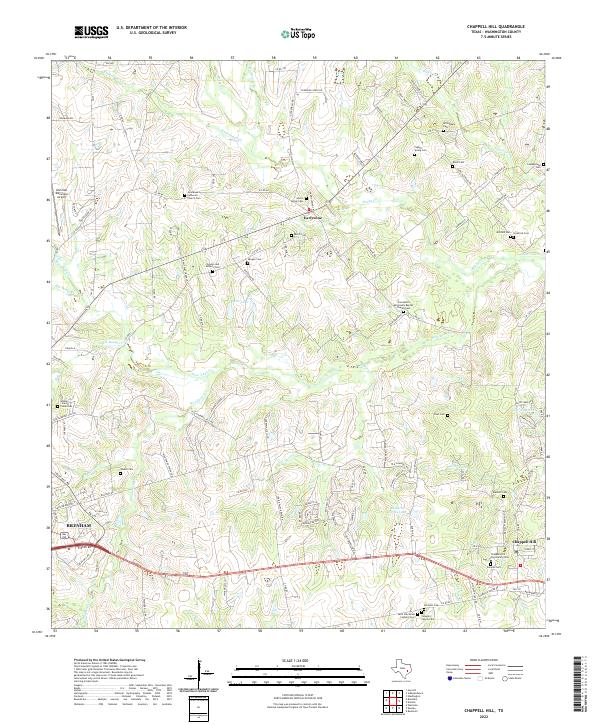
1963 Chappell Hill
Washington County, TX
2010 Chappell Hill
Washington County, TX
2010 Daniels
Washington County, TX
2010 Gay Hill
Washington County, TX
2010 Greenvine
Washington County, TX
2010 Independence
Washington County, TX
2010 Washington
Washington County, TX
2013 Chappell Hill
Washington County, TX
2013 Daniels
Washington County, TX
2013 Gay Hill
Washington County, TX
2013 Greenvine
Washington County, TX
2013 Independence
Washington County, TX
2013 Washington
Washington County, TX
2016 Chappell Hill
Washington County, TX
2016 Daniels
Washington County, TX
2016 Gay Hill
Washington County, TX
2016 Greenvine
Washington County, TX
2016 Independence
Washington County, TX
2016 Washington
Washington County, TX
2019 Chappell Hill
Washington County, TX
2019 Daniels
Washington County, TX
2019 Gay Hill
Washington County, TX
2019 Greenvine
Washington County, TX
2019 Independence
Washington County, TX
2019 Washington
Washington County, TX
2022 Chappell Hill
Washington County, TX
2022 Daniels
Washington County, TX
2022 Gay Hill
Washington County, TX
2022 Greenvine
Washington County, TX
2022 Independence
Washington County, TX
2022 Washington
Washington County, TX