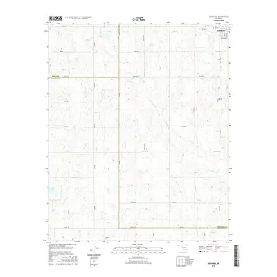
2016 Map of Indiahoma
USGS Topo · Published 2016About this map
Indiahoma serves as the primary focal point of this southwestern Oklahoma landscape, where the flat plains meet a network of seasonal waterways and human-made water storage. The town's historic footprint is anchored by the Indiahoma IOOF Cem, while the surrounding countryside preserves a history of rural interment at sites like the Post Oak Cem to the north and the Schofield Cem to the south.
Find a feature on this map
43 named features on this map. Tap any name to fly to it.
Don’t see what you’re looking for? This feature index may not catch every label — zoom into the map to look around manually.
Map Details
Editions of this 2016 Indiahoma Map
This is the sole edition of this map. No revisions or reprints were ever made.
Other maps of this area
1937 · Cache
USGS Topo · 1:48,000
1937 · Quanah Mountain
USGS Topo · 1:24,000
1942 · Cache
USGS Topo · 1:62,500
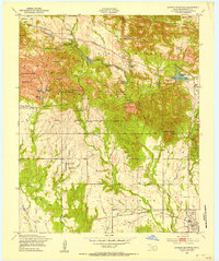
1949 · Quanah Mountain
USGS Topo · 1:24,000
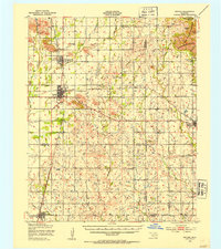
1950 · Snyder
USGS Topo · 1:62,500

1955 · Lawton
USGS Topo · 1:250,000
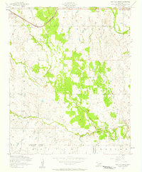
1956 · Post Oak Creek
USGS Topo · 1:24,000
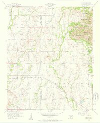
1956 · Odetta
USGS Topo · 1:24,000
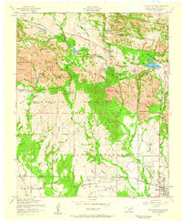
1956 · Quanah Mountain
USGS Topo · 1:24,000
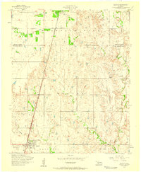
1956 · Manitou
USGS Topo · 1:24,000