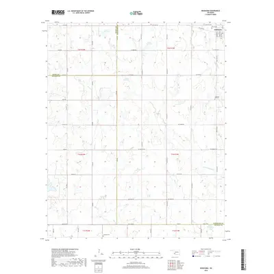
2018 Map of Indiahoma
USGS Topo · Published 2018About this map
Indiahoma serves as the primary population center in this southwestern Oklahoma landscape, where the town layout is defined by a grid including Main St, Brenton St, and Potter St. The surrounding countryside is a study in rural transition, marked by several local burial grounds such as the Indiahoma IOOF Cem and Post Oak Cem near the town, and the more isolated Schofield Cem to the south.
Find a feature on this map
44 named features on this map. Tap any name to fly to it.
Don’t see what you’re looking for? This feature index may not catch every label — zoom into the map to look around manually.
Map Details
Editions of this 2018 Indiahoma Map
This is the sole edition of this map. No revisions or reprints were ever made.
Other maps of this area
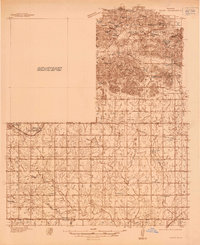
1937 · Cache
USGS Topo · 1:48,000
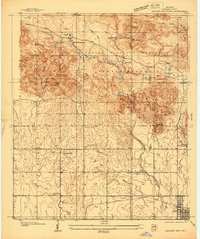
1937 · Quanah Mountain
USGS Topo · 1:24,000
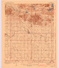
1942 · Cache
USGS Topo · 1:62,500
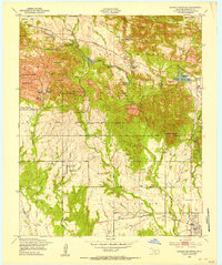
1949 · Quanah Mountain
USGS Topo · 1:24,000
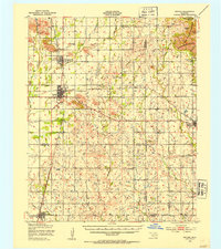
1950 · Snyder
USGS Topo · 1:62,500
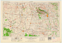
1955 · Lawton
USGS Topo · 1:250,000
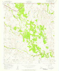
1956 · Post Oak Creek
USGS Topo · 1:24,000
1956 · Odetta
USGS Topo · 1:24,000
1956 · Quanah Mountain
USGS Topo · 1:24,000
1956 · Manitou
USGS Topo · 1:24,000