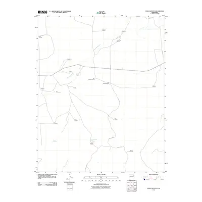
2010 Map of Indian Bathtub
USGS Topo · Published 2010About this map
The settlement at Lambert and the nearby Cejita Cemetery serve as the primary human focal points in this high plains landscape. Water management defines the geography, as evidenced by a remarkable density of named windmills scattered across the terrain. These landmarks, including the Harris Windmills, Sheep Fence Windmill, and Little Johnny Windmill, suggest a history of ranching and livestock operations where groundwater was essential.
Find a feature on this map
23 named features on this map. Tap any name to fly to it.
Don’t see what you’re looking for? This feature index may not catch every label — zoom into the map to look around manually.
Map Details
Editions of this 2010 Indian Bathtub Map
This is the sole edition of this map. No revisions or reprints were ever made.
Other maps of this area
1954 · Tucumcari
USGS Topo · 1:250,000
1958 · Tucumcari
USGS Topo · 1:250,000
1966 · Rosebud
USGS Topo · 1:24,000
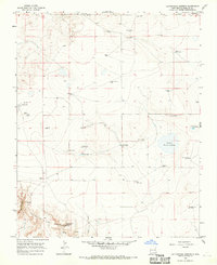
1966 · Cottonwood Springs
USGS Topo · 1:24,000
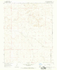
1966 · Mc Cloy Ranch
USGS Topo · 1:24,000
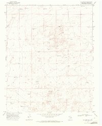
1969 · Gallegos NE
USGS Topo · 1:24,000
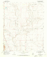
1969 · Buffalo Springs
USGS Topo · 1:24,000
1973 · Bueyeros NE
USGS Topo · 1:24,000
1973 · Circle Bar Ranch
USGS Topo · 1:24,000
1973 · Indian Bathtub
USGS Topo · 1:24,000