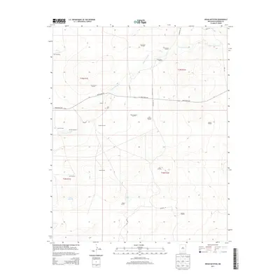
2013 Map of Indian Bathtub
USGS Topo · Published 2013About this map
Indian Bathtub and the high plains of Harding County define this ranching landscape in the early 21st century. The terrain is deeply marked by the hydrography of Arroyo de la Cejita and the presence of Salt Lakes, illustrating a region where water management is paramount to survival and industry. This is a landscape of expansive ranching operations, where named infrastructure like Harris Windmills, Little Johnny Windmill, and Sheep Fence Windmill serve as critical landmarks across the open range.
Find a feature on this map
32 named features on this map. Tap any name to fly to it.
Don’t see what you’re looking for? This feature index may not catch every label — zoom into the map to look around manually.
Map Details
Editions of this 2013 Indian Bathtub Map
This is the sole edition of this map. No revisions or reprints were ever made.
Other maps of this area
1954 · Tucumcari
USGS Topo · 1:250,000
1958 · Tucumcari
USGS Topo · 1:250,000
1966 · Rosebud
USGS Topo · 1:24,000
1966 · Cottonwood Springs
USGS Topo · 1:24,000
1966 · Mc Cloy Ranch
USGS Topo · 1:24,000
1969 · Gallegos NE
USGS Topo · 1:24,000
1969 · Buffalo Springs
USGS Topo · 1:24,000
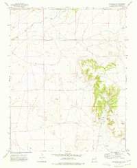
1973 · Bueyeros NE
USGS Topo · 1:24,000
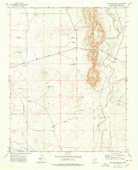
1973 · Circle Bar Ranch
USGS Topo · 1:24,000
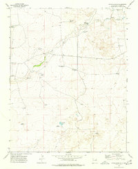
1973 · Indian Bathtub
USGS Topo · 1:24,000