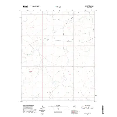
2020 Map of Indian Bathtub
USGS Topo · Published 2020About this map
Cejita Cem sits as a solitary point of local history in this high plains landscape of Harding County. The terrain is defined by the ephemeral drainage of Arroyo de la Cejita, which winds through a series of section lines and range boundaries. This modern survey illustrates the sparse, ranch-oriented settlement pattern characteristic of northeast New Mexico, where long-established family names are preserved on tracks like Hopson Rd and Culbertson Rd. In the southern portion of the quadrangle, the namesake Indian Bathtub landform and the Salt Lakes indicate the unique hydrology of this arid region. The network of unpaved routes, including Salt Lakes Rd and S Creek Ln, provides a clear view of how land access and property divisions remain tied to the original township and range grid.
Find a feature on this map
16 named features on this map. Tap any name to fly to it.
Don’t see what you’re looking for? This feature index may not catch every label — zoom into the map to look around manually.
Map Details
Editions of this 2020 Indian Bathtub Map
This is the sole edition of this map. No revisions or reprints were ever made.
Other maps of this area
1954 · Tucumcari
USGS Topo · 1:250,000
1958 · Tucumcari
USGS Topo · 1:250,000
1966 · Rosebud
USGS Topo · 1:24,000
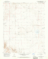
1966 · Cottonwood Springs
USGS Topo · 1:24,000
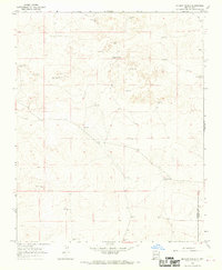
1966 · Mc Cloy Ranch
USGS Topo · 1:24,000
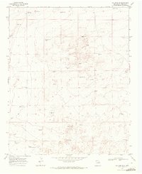
1969 · Gallegos NE
USGS Topo · 1:24,000
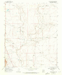
1969 · Buffalo Springs
USGS Topo · 1:24,000
1973 · Bueyeros NE
USGS Topo · 1:24,000
1973 · Circle Bar Ranch
USGS Topo · 1:24,000
1973 · Indian Bathtub
USGS Topo · 1:24,000