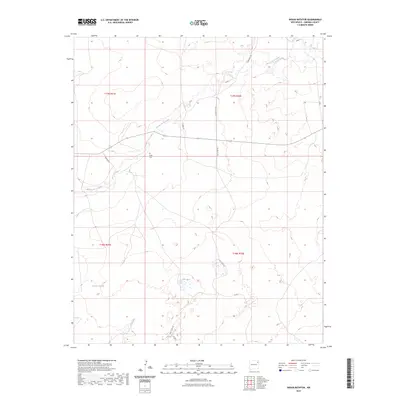
2023 Map of Indian Bathtub
USGS Topo · Published 2023About this map
Indian Bathtub and the Salt Lakes anchor this high-plains landscape in Harding County, where the terrain is defined by the ephemeral drainage of the Arroyo de la Cejita. The area remains sparsely populated, with land divisions marked by the township and range lines of the Public Land Survey System. For those researching local history or genealogy, the Cejita Cem serves as a significant landmark in the northwest quadrant, situated near the intersection of Hopson Rd. A network of unpaved tracks and county roads, including Culbertson Rd and Salt Lakes Rd, provides the primary access through these grazing lands, illustrating the continued rural character of northeastern New Mexico.
Find a feature on this map
15 named features on this map. Tap any name to fly to it.
Don’t see what you’re looking for? This feature index may not catch every label — zoom into the map to look around manually.
Map Details
Editions of this 2023 Indian Bathtub Map
This is the sole edition of this map. No revisions or reprints were ever made.
Other maps of this area

1954 · Tucumcari
USGS Topo · 1:250,000

1958 · Tucumcari
USGS Topo · 1:250,000

1966 · Rosebud
USGS Topo · 1:24,000

1966 · Cottonwood Springs
USGS Topo · 1:24,000

1966 · Mc Cloy Ranch
USGS Topo · 1:24,000

1969 · Gallegos NE
USGS Topo · 1:24,000

1969 · Buffalo Springs
USGS Topo · 1:24,000

1973 · Bueyeros NE
USGS Topo · 1:24,000

1973 · Circle Bar Ranch
USGS Topo · 1:24,000
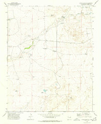
1973 · Indian Bathtub
USGS Topo · 1:24,000