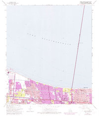
1965 Map of Indian Beach
USGS Topo · Published 1973About this map
Lake Pontchartrain dominates the northern half of this mid-century survey, its vast waters separated from the burgeoning suburban sprawl of Jefferson Parish by the Sea Level Levee. The map documents a period of rapid residential expansion as the corridor between Kenner and Bucktown transitions into a grid of post-war neighborhoods. Dense clusters of schools and churches, such as St Philip Neri Sch and St Augustines Ch, indicate a thriving community infrastructure established along the Veterans Memorial 4 Lane Highway.
Find a feature on this map
39 named features on this map. Tap any name to fly to it.
Don’t see what you’re looking for? This feature index may not catch every label — zoom into the map to look around manually.
Map Details
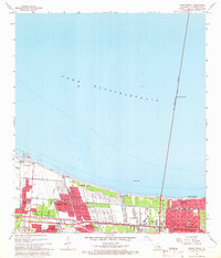
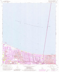
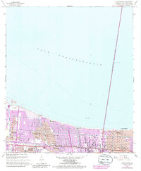
Editions of this 1965 Indian Beach Map
4 editions found
Other maps of this area

1891 · Hahnville
USGS Topo · 1:62,500

1891 · Spanish Fort
USGS Topo · 1:62,500

1891 · New Orleans
USGS Topo · 1:62,500

1892 · Bonnet Carre
USGS Topo · 1:62,500

1932 · New Orleans NE
USGS Topo · 1:31,680

1932 · New Orleans NW
USGS Topo · 1:31,680

1932 · Hahnville NE
USGS Topo · 1:31,680

1935 · Luling
USGS Topo · 1:31,680

1936 · Bonnet Carre
USGS Topo · 1:62,500

1936 · Spanish Fort
USGS Topo · 1:62,500