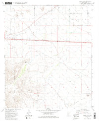
1981 Map of Indian Butte
USGS Topo · Published 1981About this map
The Table Top Mountains dominate the western edge of this 1981 survey, rising sharply from the desert floor. This landscape in Pinal County is defined by its transition from the steep elevation of Indian Butte and Needle Peak to the arid flats of the Papago Indian Reservation in the southeast. Evidence of early infrastructure and resource management is visible throughout, including the Pinal County West Park and scattered prospects that hint at mineral exploration.
Find a feature on this map
20 named features on this map. Tap any name to fly to it.
Don’t see what you’re looking for? This feature index may not catch every label — zoom into the map to look around manually.
Map Details
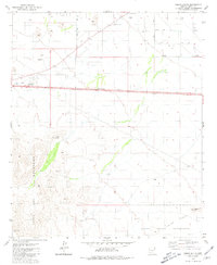
Editions of this 1981 Indian Butte Map
2 editions found
Other maps of this area

1922 · Casa Grande
USGS Topo · 1:62,500

1924 · Casa Grande
USGS Topo · 1:62,500

1941 · Vekol Mountains
USGS Topo · 1:62,500

1942 · Silver Reef Mountains
USGS Topo · 1:62,500

1942 · Vekol Mountains
USGS Topo · 1:62,500

1946 · Antelope Peak
USGS Topo · 1:62,500

1948 · Antelope Peak
USGS Topo · 1:62,500

1953 · Ajo
USGS Topo · 1:250,000

1956 · Tucson
USGS Topo · 1:250,000

1957 · Ajo
USGS Topo · 1:250,000