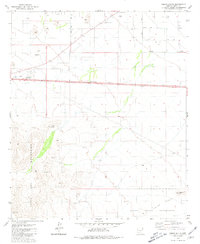
1981 Map of Indian Butte
USGS Topo · Published 1981About this map
Peters Corner stands as a focal point in this 1981 survey of the arid Pinal County landscape, situated at the intersection of local routes north of the striking Table Top Mountains. The map illustrates a transition from the rugged relief of Indian Butte and Needle Peak to the flatter plains characterized by a network of Dry Wells and irrigation infrastructure. The southern portion of the sheet is dominated by the Papago Indian Reservation, showing the jurisdictional boundaries and land use patterns of the era.
Find a feature on this map
20 named features on this map. Tap any name to fly to it.
Don’t see what you’re looking for? This feature index may not catch every label — zoom into the map to look around manually.
Map Details
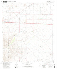
Editions of this 1981 Indian Butte Map
2 editions found
Other maps of this area

1922 · Casa Grande
USGS Topo · 1:62,500

1924 · Casa Grande
USGS Topo · 1:62,500

1941 · Vekol Mountains
USGS Topo · 1:62,500

1942 · Silver Reef Mountains
USGS Topo · 1:62,500

1942 · Vekol Mountains
USGS Topo · 1:62,500

1946 · Antelope Peak
USGS Topo · 1:62,500

1948 · Antelope Peak
USGS Topo · 1:62,500

1953 · Ajo
USGS Topo · 1:250,000

1956 · Tucson
USGS Topo · 1:250,000

1957 · Ajo
USGS Topo · 1:250,000