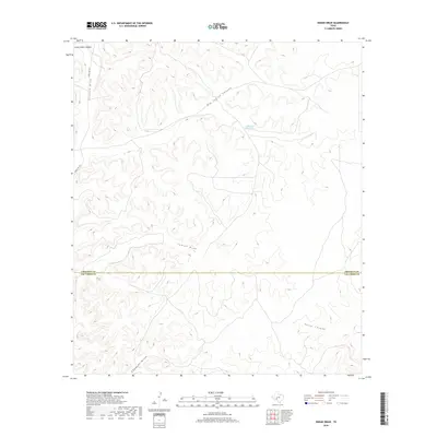
2019 Map of Indian Draw
USGS Topo · Published 2019About this map
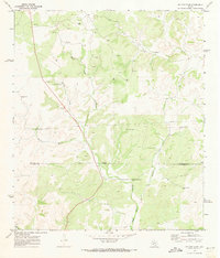
Indian Water Hole Spring provides a rare water source in this arid stretch of West Texas where the Edwards Plateau begins its descent toward the Rio Grande basin. The landscape is defined by a dense network of drainage systems, including the prominent Indian Draw and the deeply incised Pecos Canyon. This 2019 survey documents the transition across the Crockett Co Val Verde Co line, an area characterized by significant elevation changes and seasonal watercourses like Johnson Draw and Edwards Draw. Modern access is limited to Ranch Rd 1973, which cuts through the northwestern corner near Government Canyon. The concentration of canyon names and traditional water sites suggests a landscape where movement and survival have long been dictated by the natural topography of the Trans-Pecos region.
Find a feature on this map
9 named features on this map. Tap any name to fly to it.
Don’t see what you’re looking for? This feature index may not catch every label — zoom into the map to look around manually.
Map Details
Editions of this 2019 Indian Draw Map
This is the sole edition of this map. No revisions or reprints were ever made.
Other maps of this area

1954 · Sonora
USGS Topo · 1:250,000

1958 · Sonora
USGS Topo · 1:250,000
1969 · Wild Horse Canyon
USGS Topo · 1:24,000
1970 · Howards Well NE
USGS Topo · 1:24,000
1970 · Aermotor Draw
USGS Topo · 1:24,000
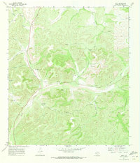
1970 · Juno
USGS Topo · 1:24,000
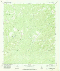
1970 · Steel Star Draw
USGS Topo · 1:24,000
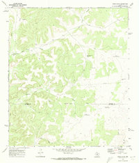
1970 · Indian Draw
USGS Topo · 1:24,000
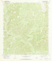
1970 · Bee Canyon
USGS Topo · 1:24,000
1970 · Brushy Draw
USGS Topo · 1:24,000