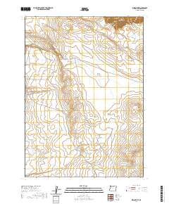
2020 Map of Indian Fort
USGS Topo · Published 2020About this map
Indian Fort and the nearby Crows Nest occupy a high-desert landscape in southeastern Oregon, defined by a series of buttes and seasonal drainage systems. The topography is dominated by dramatic elevation changes at Owyhee Canyon and prominent landmarks like Dead Horse Butte and Mustang Butte. The presence of several man-made catchments, including Rim Reservoir and Waterhole Reservoir, suggests a land managed for livestock and range utility, where water is the primary resource for movement and settlement.
Find a feature on this map
22 named features on this map. Tap any name to fly to it.
Don’t see what you’re looking for? This feature index may not catch every label — zoom into the map to look around manually.
Map Details
Editions of this 2020 Indian Fort Map
This is the sole edition of this map. No revisions or reprints were ever made.
Other maps of this area

1955 · Jordan Valley
USGS Topo · 1:250,000

1957 · Jordan Valley
USGS Topo · 1:250,000

1958 · Jordan Valley
USGS Topo · 1:250,000
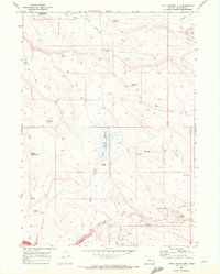
1969 · Little Grassy Mountain
USGS Topo · 1:24,000
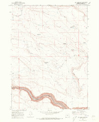
1969 · Dry Creek Rim
USGS Topo · 1:24,000
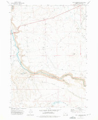
1972 · Scott Reservoir
USGS Topo · 1:24,000

1979 · Rockhouse Reservoir
USGS Topo · 1:24,000
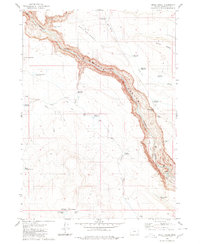
1980 · Skull Creek
USGS Topo · 1:24,000
1980 · Caviatta Ridge
USGS Topo · 1:24,000
1980 · Jackies Butte
USGS Topo · 1:24,000