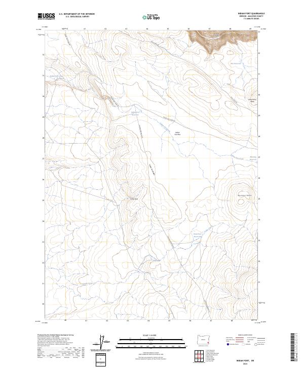
2024 Map of Indian Fort
USGS Topo · Published 2024About this map
The Owyhee Wild and Scenic River carves through the northeastern corner of this Malheur County landscape, defining the deep relief of Owyhee Canyon. This high desert terrain is characterized by a network of drainage systems and isolated peaks, where the namesake Indian Fort Ridge overlooks the broad expanse of Indian Fort Flat. The map reveals a land managed for water resources, dotted with several catchment points like Indian Fort Reservoir, Mustang Reservoir, and Waterhole Reservoir.
Find a feature on this map
23 named features on this map. Tap any name to fly to it.
Don’t see what you’re looking for? This feature index may not catch every label — zoom into the map to look around manually.
Map Details
Editions of this 2024 Indian Fort Map
This is the sole edition of this map. No revisions or reprints were ever made.
Other maps of this area

1955 · Jordan Valley
USGS Topo · 1:250,000

1957 · Jordan Valley
USGS Topo · 1:250,000

1958 · Jordan Valley
USGS Topo · 1:250,000
1969 · Little Grassy Mountain
USGS Topo · 1:24,000
1969 · Dry Creek Rim
USGS Topo · 1:24,000
1972 · Scott Reservoir
USGS Topo · 1:24,000

1979 · Rockhouse Reservoir
USGS Topo · 1:24,000
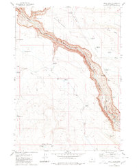
1980 · Skull Creek
USGS Topo · 1:24,000
1980 · Caviatta Ridge
USGS Topo · 1:24,000
1980 · Jackies Butte
USGS Topo · 1:24,000