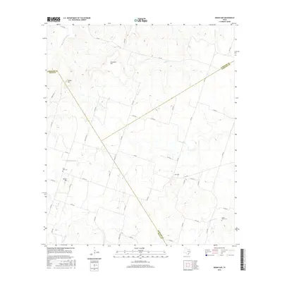
2016 Map of Indian Gap
USGS Topo · Published 2016About this map
Indian Gap sits at the center of this topographic landscape where the borders of Comanche, Mills, and Hamilton Counties meet. This 2014-era survey reveals a terrain defined by prominent elevations such as Cowhouse Mtn, Schoen Mtn, and Becker Mtn, which rise above the complex network of drainage creeks. The settlement pattern is sparse, with activity concentrated along the Farm to Market road system, specifically FM 218 and FM 1702.
Find a feature on this map
52 named features on this map. Tap any name to fly to it.
Don’t see what you’re looking for? This feature index may not catch every label — zoom into the map to look around manually.
Map Details
Editions of this 2016 Indian Gap Map
This is the sole edition of this map. No revisions or reprints were ever made.
Other maps of this area
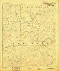
1888 · Hamilton
USGS Topo · 1:125,000
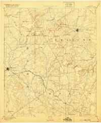
1889 · Brownwood
USGS Topo · 1:125,000
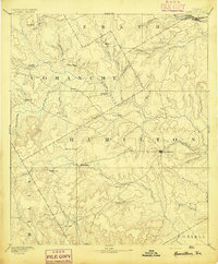
1894 · Hamilton
USGS Topo · 1:125,000
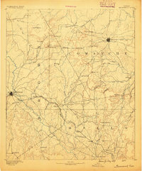
1894 · Brownwood
USGS Topo · 1:125,000
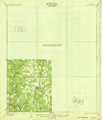
1931 · Mullin
USGS Topo · 1:62,500
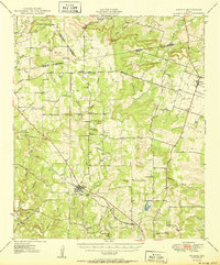
1950 · Mullin
USGS Topo · 1:62,500

1954 · Brownwood
USGS Topo · 1:250,000
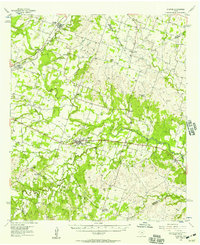
1956 · Gustine
USGS Topo · 1:62,500
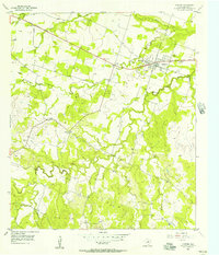
1956 · Gustine
USGS Topo · 1:24,000
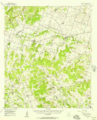
1956 · Pottsville
USGS Topo · 1:62,500