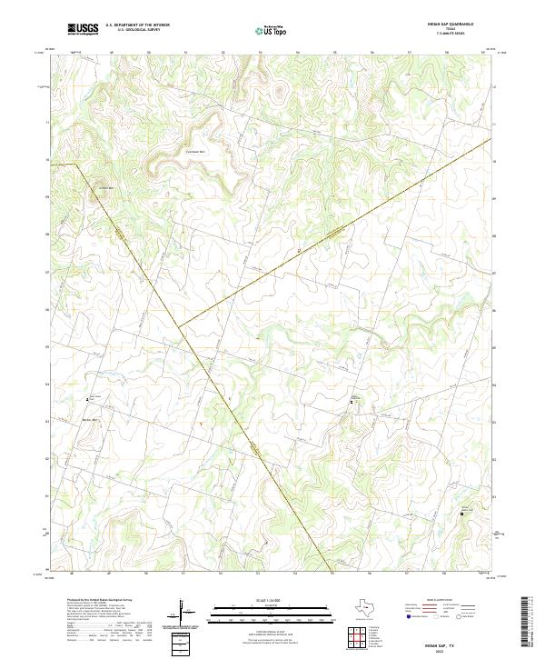
2022 Map of Indian Gap
USGS Topo · Published 2022About this map
The tri-county boundary where Hamilton, Comanche, and Mills counties meet defines this rural landscape in Central Texas. The topography is characterized by distinctive elevations like Cowhouse Mtn, Schoen Mtn, and Becker Mtn, which overlook a network of seasonal watercourses. The drainage patterns of Cowhouse Cr and its tributaries, including Washboard Cr and Walnut Cr, dictate the placement of local ranch roads and farm-to-market routes.
Find a feature on this map
52 named features on this map. Tap any name to fly to it.
Don’t see what you’re looking for? This feature index may not catch every label — zoom into the map to look around manually.
Map Details
Editions of this 2022 Indian Gap Map
This is the sole edition of this map. No revisions or reprints were ever made.
Other maps of this area

1888 · Hamilton
USGS Topo · 1:125,000

1889 · Brownwood
USGS Topo · 1:125,000

1894 · Hamilton
USGS Topo · 1:125,000

1894 · Brownwood
USGS Topo · 1:125,000

1931 · Mullin
USGS Topo · 1:62,500

1950 · Mullin
USGS Topo · 1:62,500

1954 · Brownwood
USGS Topo · 1:250,000

1956 · Gustine
USGS Topo · 1:62,500

1956 · Gustine
USGS Topo · 1:24,000

1956 · Pottsville
USGS Topo · 1:62,500