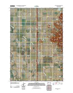
2011 Map of Indian Head
USGS Topo · Published 2011About this map
Twin Buttes and the prominence of Indian Head overlook a landscape of well-organized agriculture and aviation in this Linn County corridor. The terrain is defined by the Dinwiddie Valley and a network of drainage systems including Spoon Creek, Pierce Creek, and the winding Little Muddy Creek. This 2011 survey illustrates the rural infrastructure of the region, where numerous small airstrips like Lafferty Field, Daniels Field, and Wrights Airfield sit alongside farm-to-market roads.
Find a feature on this map
40 named features on this map. Tap any name to fly to it.
Don’t see what you’re looking for? This feature index may not catch every label — zoom into the map to look around manually.
Map Details
Editions of this 2011 Indian Head Map
This is the sole edition of this map. No revisions or reprints were ever made.
Other maps of this area
1909 · Harrisburg
USGS Topo · 1:31,680
1909 · Rowland
USGS Topo · 1:31,680
1910 · Eugene
USGS Topo · 1:62,500
1911 · Brownsville
USGS Topo · 1:31,680
1912 · Halsey
USGS Topo · 1:62,500
1921 · Brownsville
USGS Topo · 1:62,500
1940 · Eugene
USGS Topo · 1:62,500
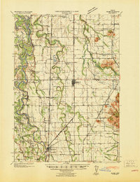
1941 · Halsey
USGS Topo · 1:62,500
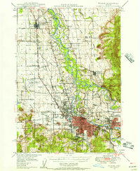
1946 · Eugene
USGS Topo · 1:62,500
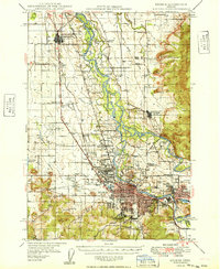
1949 · Eugene
USGS Topo · 1:62,500