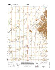
2017 Map of Indian Head
USGS Topo · Published 2017About this map
Indian Head and the rising peaks of Twin Buttes anchor this portion of the Willamette Valley’s eastern edge. The landscape is defined by a dense network of watercourses, including the meandering Little Muddy Cr and Spoon Cr, which drain the low-lying agricultural lands. This territory is marked by the presence of family-linked landmarks and small rural aviation sites such as Lafferty Field and Daniels Field LLC, suggesting a modern rural economy that maintains its traditional geographic footprint.
Find a feature on this map
48 named features on this map. Tap any name to fly to it.
Don’t see what you’re looking for? This feature index may not catch every label — zoom into the map to look around manually.
Map Details
Editions of this 2017 Indian Head Map
This is the sole edition of this map. No revisions or reprints were ever made.
Other maps of this area
1909 · Harrisburg
USGS Topo · 1:31,680
1909 · Rowland
USGS Topo · 1:31,680
1910 · Eugene
USGS Topo · 1:62,500
1911 · Brownsville
USGS Topo · 1:31,680
1912 · Halsey
USGS Topo · 1:62,500
1921 · Brownsville
USGS Topo · 1:62,500
1940 · Eugene
USGS Topo · 1:62,500
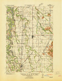
1941 · Halsey
USGS Topo · 1:62,500
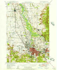
1946 · Eugene
USGS Topo · 1:62,500
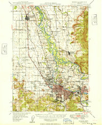
1949 · Eugene
USGS Topo · 1:62,500