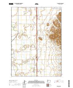
2020 Map of Indian Head
USGS Topo · Published 2020About this map
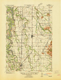
Indian Head and the surrounding valley floor in western Linn County are defined by a complex network of seasonal and perennial watercourses. This agricultural landscape is drained by Little Muddy Cr, Courtney Cr, and Spoon Cr, which wind through a patchwork of fields and rural roads. Prominent elevations like Bond Butte and Twin Buttes break the otherwise level terrain of the Willamette Valley. Local history and genealogy are anchored by several small burial grounds, including Harris Cem, Wigle Cem, and Blain Cem, often found on higher ground or near historic property lines. The presence of Lafferty Field and the Daniels Field LLC Airport highlights the ongoing rural and aviation use of the area, while the Permaneer-Log Pond in the northeast corner suggests industrial water management for timber or agriculture.
Find a feature on this map
48 named features on this map. Tap any name to fly to it.
Don’t see what you’re looking for? This feature index may not catch every label — zoom into the map to look around manually.
Map Details
Editions of this 2020 Indian Head Map
This is the sole edition of this map. No revisions or reprints were ever made.
Other maps of this area
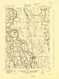
1909 · Harrisburg
USGS Topo · 1:31,680
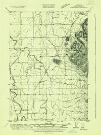
1909 · Rowland
USGS Topo · 1:31,680
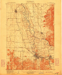
1910 · Eugene
USGS Topo · 1:62,500
1911 · Brownsville
USGS Topo · 1:31,680
1912 · Halsey
USGS Topo · 1:62,500
1921 · Brownsville
USGS Topo · 1:62,500
1940 · Eugene
USGS Topo · 1:62,500
1941 · Halsey
USGS Topo · 1:62,500
1946 · Eugene
USGS Topo · 1:62,500
1949 · Eugene
USGS Topo · 1:62,500