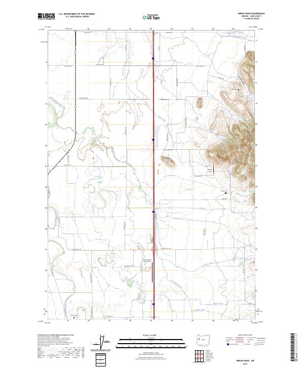
2023 Map of Indian Head
USGS Topo · Published 2023About this map
The drainage of Little Muddy Creek and Spoon Creek defines this agricultural stretch of the Willamette Valley, where prominent rises like Indian Head and Bond Butte break the flat terrain. This 2023 survey documents a landscape where modern aviation and logging interests coexist with nineteenth-century family legacies. Aviation is represented by Lafferty Field and the Daniels Field LLC Airport, while the area's timber history is signaled by the Permanente Log Pond in the northeast. For genealogists and local historians, several small burial sites are preserved, including the Blan Cem near Dinwiddie Valley, Wigle Cem to the south, and Harris Cem near Putnam Creek. The grid of rural roads, such as Irish Bend Rd and Diamond Hill Rd, traces long-established property lines between the historic townships.
Find a feature on this map
49 named features on this map. Tap any name to fly to it.
Don’t see what you’re looking for? This feature index may not catch every label — zoom into the map to look around manually.
Map Details
Editions of this 2023 Indian Head Map
This is the sole edition of this map. No revisions or reprints were ever made.
Other maps of this area

1909 · Harrisburg
USGS Topo · 1:31,680

1909 · Rowland
USGS Topo · 1:31,680

1910 · Eugene
USGS Topo · 1:62,500

1911 · Brownsville
USGS Topo · 1:31,680

1912 · Halsey
USGS Topo · 1:62,500

1921 · Brownsville
USGS Topo · 1:62,500

1940 · Eugene
USGS Topo · 1:62,500

1941 · Halsey
USGS Topo · 1:62,500

1946 · Eugene
USGS Topo · 1:62,500

1949 · Eugene
USGS Topo · 1:62,500