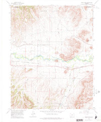
1966 Map of Indian Head
USGS Topo · Published 1977About this map
The Rio Grande River serves as the central artery through this mid-1960s landscape, flanked by the Denver and Rio Grande Western railroad. This stretch of Colorado river valley, largely protected by the Rio Grande National Forest, shows a blend of transportation infrastructure and sparse settlement at Hanna. A State Bridge and a Gaging Sta mark the river's utility, while terrain features like Indian Head define the local topography. The presence of several Gravel Pits and a Gravel Pit near the rail line indicates the industrial activity supporting the corridor's development. Natural drainages like Old Woman Creek and Schrader Creek feed into the main river, while the high ground of English Valley sits in the northeast, illustrating the transition from the fertile river bottom to the high mountain forest.
Find a feature on this map
22 named features on this map. Tap any name to fly to it.
Don’t see what you’re looking for? This feature index may not catch every label — zoom into the map to look around manually.
Map Details
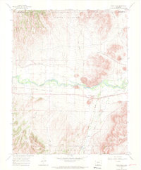
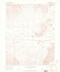
Editions of this 1966 Indian Head Map
3 editions found
Other maps of this area

1914 · Creede
USGS Topo · 1:125,000

1915 · Del Norte
USGS Topo · 1:125,000

1916 · Creede
USGS Topo · 1:125,000

1917 · Del Norte
USGS Topo · 1:125,000

1945 · Durango
USGS Topo · 1:250,000

1953 · Durango
USGS Topo · 1:250,000

1954 · Durango
USGS Topo · 1:250,000

1961 · Durango
USGS Topo · 1:250,000

1963 · Durango
USGS Topo · 1:250,000

1966 · Durango
USGS Topo · 1:250,000