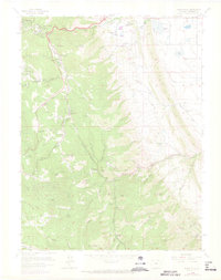
1965 Map of Indian Hills
USGS Topo · Published 1973About this map
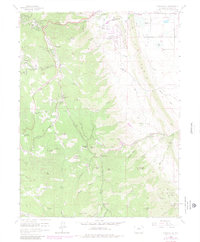
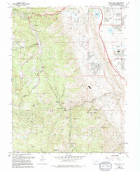
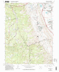
Turkey Creek and its sharp descent through Turkey Creek Canyon dominate this mid-century survey of the Front Range foothills. The landscape is a study in the transition from ranching heritage to residential enclaves, where established holdings like Willow Springs Ranch and Ken Caryl Ranch sit alongside developing communities such as Indian Hills and the specialized Tiny Town. The topography is defined by a series of prominent peaks, including Mount Lindo, Yegge Peak, and Plymouth Mountain, which frame the complex drainage systems of Deer Creek and Dutch Creek.
Find a feature on this map
58 named features on this map. Tap any name to fly to it.
Don’t see what you’re looking for? This feature index may not catch every label — zoom into the map to look around manually.
Map Details
Editions of this 1965 Indian Hills Map
7 editions found
Other maps of this area

1893 · Platte Canyon
USGS Topo · 1:125,000

1899 · West Denver
USGS Topo · 1:125,000

1938 · Morrison
USGS Topo · 1:24,000

1941 · Fort Logan
USGS Topo · 1:31,680

1942 · Morrison
USGS Topo · 1:31,680

1942 · Littleton
USGS Topo · 1:31,680

1945 · Indian Hills
USGS Topo · 1:31,680

1945 · Platte Canyon
USGS Topo · 1:24,000

1945 · Pine
USGS Topo · 1:24,000

1945 · Kassler
USGS Topo · 1:24,000