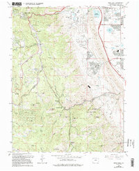
1965 Map of Indian Hills
USGS Topo · Published 1994About this map
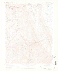
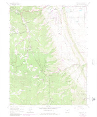
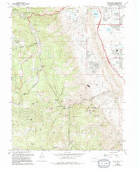
Turkey Creek and its many branches define this portion of the Front Range, where small mountain settlements like Tiny Town and Indian Hills are situated within a complex landscape of peaks and canyons. The map documents the mid-century transition of this area from a series of scattered mountain parks and ranchlands, such as Willow Springs Ranch and Ken Caryl Ranch, into established residential enclaves and recreational sites. Cultural landmarks range from the Gilmore Chapel and a small Cem to industrial footprints like the Claypits near the Bergen Reservoirs.
Find a feature on this map
58 named features on this map. Tap any name to fly to it.
Don’t see what you’re looking for? This feature index may not catch every label — zoom into the map to look around manually.
Map Details
Editions of this 1965 Indian Hills Map
7 editions found
Other maps of this area

1893 · Platte Canyon
USGS Topo · 1:125,000

1899 · West Denver
USGS Topo · 1:125,000

1938 · Morrison
USGS Topo · 1:24,000

1941 · Fort Logan
USGS Topo · 1:31,680

1942 · Morrison
USGS Topo · 1:31,680

1942 · Littleton
USGS Topo · 1:31,680

1945 · Indian Hills
USGS Topo · 1:31,680

1945 · Platte Canyon
USGS Topo · 1:24,000

1945 · Pine
USGS Topo · 1:24,000

1945 · Kassler
USGS Topo · 1:24,000