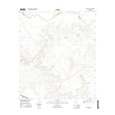
2016 Map of Indian Mesa NE
USGS Topo · Published 2016About this map
The Pecos River carves a winding path along the northern boundary of this West Texas landscape, serving as the historical dividing line between Pecos County and Crockett County. This 2016 survey illustrates a high-desert environment defined by dramatic elevation changes and dry drainage systems like Fivemile Cr and Upper Fourmile Draw. Human presence is marked by a sparse network of ranch and service roads, including Fm 305 and Co-Op Rd, which navigate the mesas and basins. The mapping of Highway 190 across the southern portion reveals the modern transportation corridors that cross this rugged terrain, while local tracks like H & P Rd provide access to the remote interior. This map is particularly useful for understanding the intersection of natural hydrology and the political boundaries of the Trans-Pecos region.
Find a feature on this map
9 named features on this map. Tap any name to fly to it.
Don’t see what you’re looking for? This feature index may not catch every label — zoom into the map to look around manually.
Map Details
Editions of this 2016 Indian Mesa NE Map
This is the sole edition of this map. No revisions or reprints were ever made.
Other maps of this area
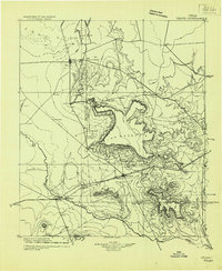
1928 · Crane
USGS Topo · 1:125,000
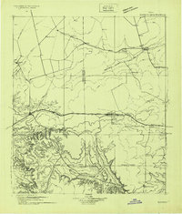
1928 · Rankin
USGS Topo · 1:125,000

1929 · Sheffield
USGS Topo · 1:125,000
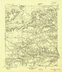
1929 · Independence Draw Quadrangle
USGS Topo · 1:125,000

1954 · Pecos
USGS Topo · 1:250,000

1954 · Fort Stockton
USGS Topo · 1:250,000

1954 · Sonora
USGS Topo · 1:250,000

1954 · San Angelo
USGS Topo · 1:250,000

1957 · Pecos
USGS Topo · 1:250,000

1958 · Sonora
USGS Topo · 1:250,000