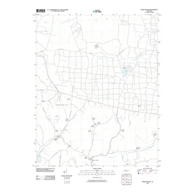
2010 Map of Indian Mound
USGS Topo · Published 2010About this map
The Indian Mound Post Office serves as a central landmark in this portion of Stewart County, where the landscape is defined by a dense network of hollows and creek branches. Topographic names like Weakley Horn Hollow, Shepherd Hollow, and Gillum Hollow trace the complex drainage patterns feeding into major water bodies. To the southwest, the reach of Lake Barkley is visible, while Lake Kyle and its associated Kyle Lake Dam occupy the central-eastern terrain.
Find a feature on this map
60 named features on this map. Tap any name to fly to it.
Don’t see what you’re looking for? This feature index may not catch every label — zoom into the map to look around manually.
Map Details
Editions of this 2010 Indian Mound Map
This is the sole edition of this map. No revisions or reprints were ever made.
Other maps of this area

1931 · Erin
USGS Topo · 1:62,500

1936 · Dover
USGS Topo · 1:24,000

1950 · Dover
USGS Topo · 1:24,000

1951 · Roaring Spring
USGS Topo · 1:24,000

1951 · Johnson Hollow
USGS Topo · 1:24,000

1951 · Indian Mound
USGS Topo · 1:24,000

1951 · Bumpus Mills
USGS Topo · 1:24,000

1951 · Herndon
USGS Topo · 1:24,000

1951 · Woodlawn
USGS Topo · 1:24,000

1956 · Nashville
USGS Topo · 1:250,000