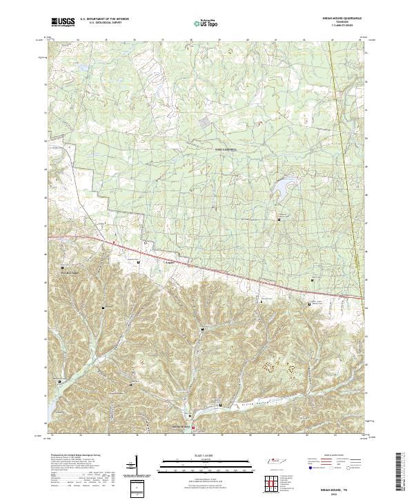
2022 Map of Indian Mound
USGS Topo · Published 2022About this map
Indian Mound serves as the focal point of this western Tennessee landscape, where the terrain is defined by a dense network of hollows and ridges between the Stewart and Montgomery county line. The settlement pattern is largely rural, with established hamlets like Legate and Wyatts Chapel connected by winding roads such as Jordan Springs Rd and Indian Mound Rd. The area is notably dense with family burial grounds, including the Smith-Austin-Wallace Cem and Carpenter-Cohoon Cem, providing significant spatial data for genealogical research in this portion of the Highland Rim.
Find a feature on this map
86 named features on this map. Tap any name to fly to it.
Don’t see what you’re looking for? This feature index may not catch every label — zoom into the map to look around manually.
Map Details
Editions of this 2022 Indian Mound Map
This is the sole edition of this map. No revisions or reprints were ever made.
Other maps of this area

1931 · Erin
USGS Topo · 1:62,500

1936 · Dover
USGS Topo · 1:24,000

1950 · Dover
USGS Topo · 1:24,000

1951 · Roaring Spring
USGS Topo · 1:24,000

1951 · Johnson Hollow
USGS Topo · 1:24,000

1951 · Indian Mound
USGS Topo · 1:24,000

1951 · Bumpus Mills
USGS Topo · 1:24,000

1951 · Herndon
USGS Topo · 1:24,000

1951 · Woodlawn
USGS Topo · 1:24,000

1956 · Nashville
USGS Topo · 1:250,000