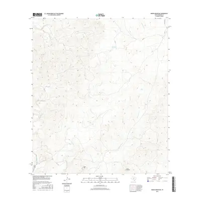
2016 Map of Indian Mountain
USGS Topo · Published 2016About this map
Indian Mountain and Black Mtn anchor this West Texas landscape, where the topography is defined by a network of drainage systems including Bluff Cr and Cave Cr. The map highlights critical water sources in an arid region, such as Stagecoach Waterhole, Pecan Springs, and Cherry Spring, which historically dictated movement and land use across Edwards County. A single remote airstrip, the Pinon Ranch Airport, appears in the southwest corner, signifying the modern connectivity of these isolated ranchlands. County roads like Co RD 17 and Cedar Creek RD provide the primary transit through the canyons and draws, following the natural contours shaped by Sycamore Cr and Dry Sycamore Cr. The layout of these ranch access points and named springs illustrates the enduring reliance on specific hydrological features for habitation and livestock management in the Texas Hill Country.
Find a feature on this map
14 named features on this map. Tap any name to fly to it.
Don’t see what you’re looking for? This feature index may not catch every label — zoom into the map to look around manually.
Map Details
Editions of this 2016 Indian Mountain Map
This is the sole edition of this map. No revisions or reprints were ever made.
Other maps of this area
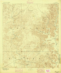
1893 · Nueces
USGS Topo · 1:125,000
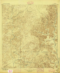
1896 · Nueces
USGS Topo · 1:125,000
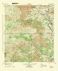
1944 · Barksdale
USGS Topo · 1:62,500
1944 · Indian Creek
USGS Topo · 1:62,500
1944 · Indian Mountain
USGS Topo · 1:62,500
1947 · Hackberry
USGS Topo · 1:62,500
1958 · Del Rio
USGS Topo · 1:250,000
1964 · Del Rio
USGS Topo · 1:250,000
1967 · Indian Mountain
USGS Topo · 1:24,000
1974 · Twomile Draw
USGS Topo · 1:24,000