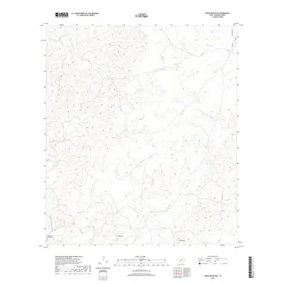
2019 Map of Indian Mountain
USGS Topo · Published 2019About this map
Indian Mtn and Black Mtn anchor this portion of the Edwards Plateau, where the headwaters of the West Nueces River carve a complex network of dry draws and seasonal creeks. The landscape is defined by its water sources, both natural and improved, including Pecan Springs, Cherry Spring, and the evocatively named Stagecoach Waterhole. These features hint at the historical reliance on reliable springs in this arid region of Texas.
Find a feature on this map
15 named features on this map. Tap any name to fly to it.
Don’t see what you’re looking for? This feature index may not catch every label — zoom into the map to look around manually.
Map Details
Editions of this 2019 Indian Mountain Map
This is the sole edition of this map. No revisions or reprints were ever made.
Other maps of this area
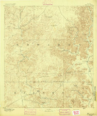
1893 · Nueces
USGS Topo · 1:125,000
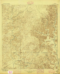
1896 · Nueces
USGS Topo · 1:125,000
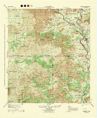
1944 · Barksdale
USGS Topo · 1:62,500
1944 · Indian Creek
USGS Topo · 1:62,500
1944 · Indian Mountain
USGS Topo · 1:62,500
1947 · Hackberry
USGS Topo · 1:62,500
1958 · Del Rio
USGS Topo · 1:250,000
1964 · Del Rio
USGS Topo · 1:250,000
1967 · Indian Mountain
USGS Topo · 1:24,000
1974 · Twomile Draw
USGS Topo · 1:24,000