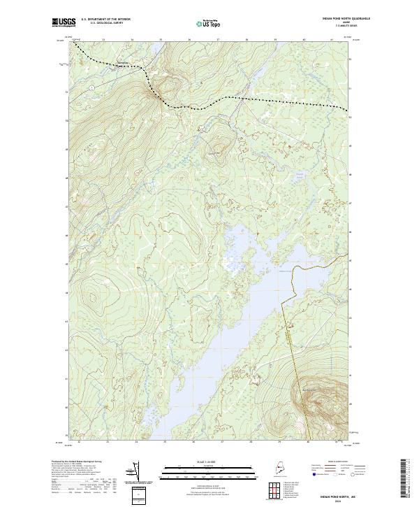
2024 Map of Indian Pond North
USGS Topo · Published 2024About this map
Tarratine sits in the northwest corner of this map, serving as a focal point for a landscape defined by its complex waterways and prominent elevations. The terrain is dominated by the height of Big Moose Mtn in the southeast and the long stretch of Misery Ridge, which overlooks the winding course of Misery Stream. The central feature, Indian Pond, is fed by several tributaries including Bog Brook and Churchill Stream, while the West Outlet indicates the drainage patterns that have shaped this portion of the Maine interior. Evidence of the region's managed forests and recreational access is found in the network of logging and local routes, such as Somerset Rd and Its 88, which navigate the rises of Cornish Hill. The boundary between Somerset and Piscataquis Counties bisects the pond, marking a political division through this largely uninhabited timberland.
Find a feature on this map
20 named features on this map. Tap any name to fly to it.
Don’t see what you’re looking for? This feature index may not catch every label — zoom into the map to look around manually.
Map Details
Editions of this 2024 Indian Pond North Map
This is the sole edition of this map. No revisions or reprints were ever made.
Other maps of this area

1905 · The Forks
USGS Topo · 1:62,500

1907 · The Forks
USGS Topo · 1:62,500

1920 · Moosehead Lake
USGS Topo · 1:62,500

1921 · Brassua Lake
USGS Topo · 1:62,500

1922 · Moosehead Lake
USGS Topo · 1:62,500

1923 · Brassua Lake
USGS Topo · 1:62,500

1930 · Moosehead Lake
USGS Topo · 1:62,500

1944 · Brassua Lake
USGS Topo · 1:62,500

1944 · Moosehead Lake
USGS Topo · 1:62,500

1951 · Greenville
USGS Topo · 1:62,500
Featured Places
- Misery Gore, ME
- Sapling Township, ME
- Misery Township, ME
- Chase Stream Township, ME
- Indian Stream Township, ME