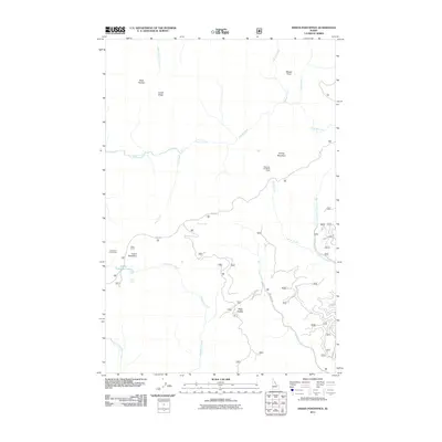
2011 Map of Indian Postoffice
USGS Topo · Published 2011About this map
Indian Postoffice sits atop a high-elevation ridge in the Idaho backcountry, serving as a focal point for this landscape. This area is defined by the historic path of the Lolo Trl, which traverses the center of the sheet near Rock Cairns and Deep Saddle. The map documents a network of primitive camps and high-country landmarks, including Bears Oil and Roots Camp and Lonesome Cove Camp. Water features such as Indian Postoffice Lake and the headwaters of Cayuse Creek and Postoffice Creek drain the surrounding peaks. The drainage patterns and the presence of the Doe Creek Rd reflect the remote character of this region, where topographic features like Lunde Ridge and Spring Mountain dictate the movement of travelers through the wilderness.
Find a feature on this map
22 named features on this map. Tap any name to fly to it.
Don’t see what you’re looking for? This feature index may not catch every label — zoom into the map to look around manually.
Map Details
Editions of this 2011 Indian Postoffice Map
This is the sole edition of this map. No revisions or reprints were ever made.
Other maps of this area
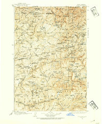
1911 · Lolo
USGS Topo · 1:250,000
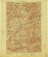
1913 · Lolo
USGS Topo · 1:250,000
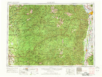
1956 · Hamilton
USGS Topo · 1:250,000
1959 · Hamilton
USGS Topo · 1:250,000
1960 · Hamilton
USGS Topo · 1:250,000
1964 · Hamilton
USGS Topo · 1:250,000
1965 · Gorman Hill
USGS Topo · 1:24,000
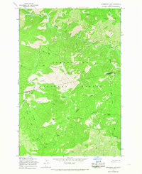
1965 · Horseshoe Lake
USGS Topo · 1:24,000
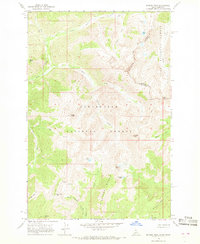
1966 · Rhodes Peak
USGS Topo · 1:24,000
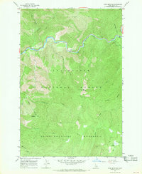
1966 · Bear Mountain
USGS Topo · 1:24,000