
1965 Map of Gorman Hill
USGS Topo · Published 1967About this map
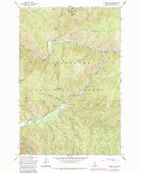
Kelly Creek and its many tributaries, including Cayuse Creek and Pollock Creek, define the drainage patterns of this mountain landscape in the mid-1960s. The area is dominated by the topography of the Clearwater National Forest, where human activity is focused around the Kelly Creek Work Center and the Cayuse Landing Field. These features, along with the Ruby Creek Campground, suggest the region's importance for forest management and remote recreational access.
Find a feature on this map
30 named features on this map. Tap any name to fly to it.
Don’t see what you’re looking for? This feature index may not catch every label — zoom into the map to look around manually.
Map Details
Editions of this 1965 Gorman Hill Map
2 editions found
Other maps of this area

1911 · Lolo
USGS Topo · 1:250,000

1913 · Lolo
USGS Topo · 1:250,000

1956 · Hamilton
USGS Topo · 1:250,000

1959 · Hamilton
USGS Topo · 1:250,000

1960 · Hamilton
USGS Topo · 1:250,000

1960 · Straight Peak
USGS Topo · 1:62,500

1964 · Hamilton
USGS Topo · 1:250,000

1965 · Osier Ridge
USGS Topo · 1:24,000
1965 · Moose Mtn
USGS Topo · 1:24,000

1965 · Scurvy Mtn.
USGS Topo · 1:24,000