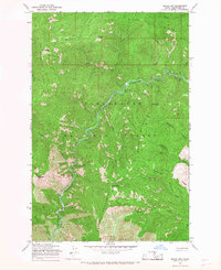
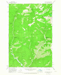
1965 Map of Moose Mtn
USGS Topo · Published 1967About this map
The North Fork Clearwater River carves a deep canyon through the heart of the Clearwater National Forest, defining the central axis of this mid-1960s survey. The landscape is dominated by high-altitude ridges and named summits, including the prominent Moose Mtn and Elizabeth Mtn. Access to these remote reaches is primarily via a network of routes like the Pack Trail, reflecting a period when Forest Service infrastructure prioritized fire lookout points and backcountry management over developed roads.
Find a feature on this map
27 named features on this map. Tap any name to fly to it.
Don’t see what you’re looking for? This feature index may not catch every label — zoom into the map to look around manually.
Map Details
Editions of this 1965 Moose Mtn Map
2 editions found
Other maps of this area

1911 · Lolo
USGS Topo · 1:250,000

1913 · Lolo
USGS Topo · 1:250,000

1956 · Hamilton
USGS Topo · 1:250,000

1959 · Hamilton
USGS Topo · 1:250,000

1960 · Hamilton
USGS Topo · 1:250,000
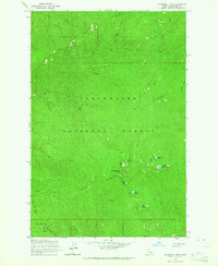
1963 · Elizabeth Lake
USGS Topo · 1:24,000
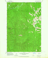
1963 · Bacon Peak
USGS Topo · 1:24,000

1964 · Hamilton
USGS Topo · 1:250,000
1965 · Hoodoo Pass
USGS Topo · 1:24,000

1965 · Osier Ridge
USGS Topo · 1:24,000