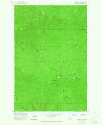
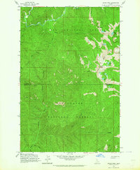
1963 Map of Elizabeth Lake
USGS Topo · Published 1964About this map
Clearwater National Forest dominates this mid-century topographic study, showcasing a high-elevation backcountry landscape characterized by prominent divides and isolated alpine lakes. The drainage patterns are defined by Henry Ridge and Pot Mtn Ridge, which separate a network of headwater streams including Quartz Creek and Elizabeth Creek. This 1963 field-checked data captures the area prior to significant modern alterations, preserving the locations of remote landmarks such as Cold Springs Peak and the nearby Cold Lake.
Find a feature on this map
29 named features on this map. Tap any name to fly to it.
Don’t see what you’re looking for? This feature index may not catch every label — zoom into the map to look around manually.
Map Details
Editions of this 1963 Elizabeth Lake Map
2 editions found
Other maps of this area

1911 · Lolo
USGS Topo · 1:250,000

1913 · Lolo
USGS Topo · 1:250,000

1956 · Hamilton
USGS Topo · 1:250,000

1959 · Hamilton
USGS Topo · 1:250,000

1960 · Hamilton
USGS Topo · 1:250,000
1963 · Pole Mtn
USGS Topo · 1:24,000
1963 · The Nub
USGS Topo · 1:24,000
1963 · Bacon Peak
USGS Topo · 1:24,000

1964 · Hamilton
USGS Topo · 1:250,000

1965 · Junction Mtn
USGS Topo · 1:24,000