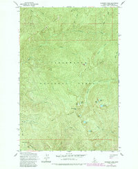
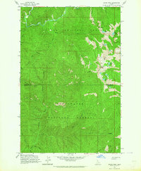
1963 Map of Elizabeth Lake
USGS Topo · Published 1984About this map
Pot Mtn Ridge and Henry Ridge dominate this high-altitude corridor of the Clearwater National Forest, where steep drainages feed a network of alpine basins. The landscape is defined by its water, featuring a cluster of small lakes such as Elizabeth Lake, Pete Ott Lake, Spring Lake, and Tillie Lake. Many of these water bodies are concentrated near Cold Springs Peak, the highest point in this section of the range. The mapping reveals a remote wilderness terrain navigated only by unimproved dirt roads and light-duty trails, highlighting the geographic isolation of the region in the early 1960s. These paths trace the natural contours of the land, connecting points like Mush Saddle and the Moscow Bar Ridge to the creek systems of Grizzly Creek and Elizabeth Creek below.
Find a feature on this map
29 named features on this map. Tap any name to fly to it.
Don’t see what you’re looking for? This feature index may not catch every label — zoom into the map to look around manually.
Map Details
Editions of this 1963 Elizabeth Lake Map
2 editions found
Other maps of this area

1911 · Lolo
USGS Topo · 1:250,000

1913 · Lolo
USGS Topo · 1:250,000

1956 · Hamilton
USGS Topo · 1:250,000

1959 · Hamilton
USGS Topo · 1:250,000

1960 · Hamilton
USGS Topo · 1:250,000
1963 · Pole Mtn
USGS Topo · 1:24,000
1963 · The Nub
USGS Topo · 1:24,000
1963 · Elizabeth Lake
USGS Topo · 1:24,000
1963 · Bacon Peak
USGS Topo · 1:24,000

1964 · Hamilton
USGS Topo · 1:250,000