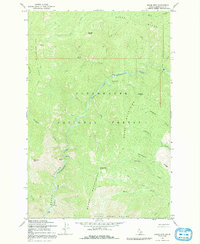
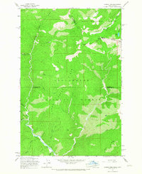
1965 Map of Moose Mtn
USGS Topo · Published 1992About this map
The North Fork Clearwater River carves a deep canyon through this portion of the Clearwater National Forest as it appeared in the mid-1960s. This land is defined by its dramatic elevation changes, from the riverbed to prominent peaks like Moose Mtn, Elizabeth Mtn, and the curiously named Elizabeths Finger. The landscape is etched with historical transit routes, primarily a network of Pack Trails and the Pete Ott Trail, which provided the only access through the high Moose Mountains and Birch Ridge. Human presence is sparse, centered around the Hidden Creek Campground and a riverside Picnic Area, reflecting an era of primitive recreation and forest management. Numerous drainages such as Deadwood Creek and Independence Creek feed the main river, illustrating the complex watershed of the Idaho backcountry before modern development.
Find a feature on this map
35 named features on this map. Tap any name to fly to it.
Don’t see what you’re looking for? This feature index may not catch every label — zoom into the map to look around manually.
Map Details
Editions of this 1965 Moose Mtn Map
2 editions found
Other maps of this area

1911 · Lolo
USGS Topo · 1:250,000

1913 · Lolo
USGS Topo · 1:250,000

1956 · Hamilton
USGS Topo · 1:250,000

1959 · Hamilton
USGS Topo · 1:250,000

1960 · Hamilton
USGS Topo · 1:250,000
1963 · Elizabeth Lake
USGS Topo · 1:24,000
1963 · Bacon Peak
USGS Topo · 1:24,000

1964 · Hamilton
USGS Topo · 1:250,000
1965 · Hoodoo Pass
USGS Topo · 1:24,000

1965 · Osier Ridge
USGS Topo · 1:24,000