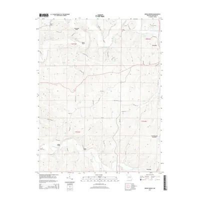
2015 Map of Indian Springs
USGS Topo · Published 2015About this map
The Meramec River winds through this central Missouri landscape, where multiple river crossings like Scott Ford, Klein Ford, and Cedar Ford define the local geography. This 2015 survey shows a rural environment punctuated by several small residential clusters and recreational waters, including Thousand Oaks in the north and the settlement of Keysville at the southern edge. The distribution of family and community landmarks such as Hibler Cemetery, Morrison Cemetery, and Shepherd of the Hills Cemetery provides valuable data for those researching regional lineage.
Find a feature on this map
65 named features on this map. Tap any name to fly to it.
Don’t see what you’re looking for? This feature index may not catch every label — zoom into the map to look around manually.
Map Details
Editions of this 2015 Indian Springs Map
This is the sole edition of this map. No revisions or reprints were ever made.
Other maps of this area
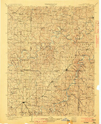
1903 · Sullivan
USGS Topo · 1:125,000
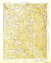
1928 · Meramec Spring
USGS Topo · 1:62,500
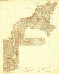
1932 · Steelville
USGS Topo · 1:48,000
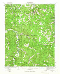
1933 · Steelville
USGS Topo · 1:62,500
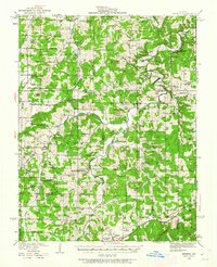
1934 · Redbird
USGS Topo · 1:62,500
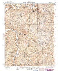
1937 · Steelville
USGS Topo · 1:62,500
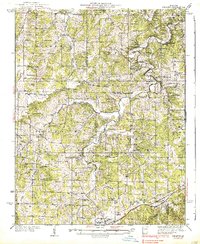
1938 · Redbird
USGS Topo · 1:62,500
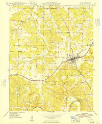
1948 · Cuba
USGS Topo · 1:24,000
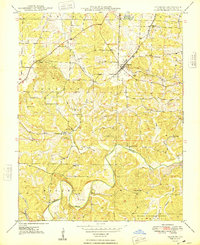
1948 · Leasburg
USGS Topo · 1:24,000
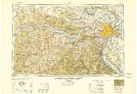
1949 · Saint Louis
USGS Topo · 1:250,000